
Watch video
View Mosier slides
View GreenLoop slides
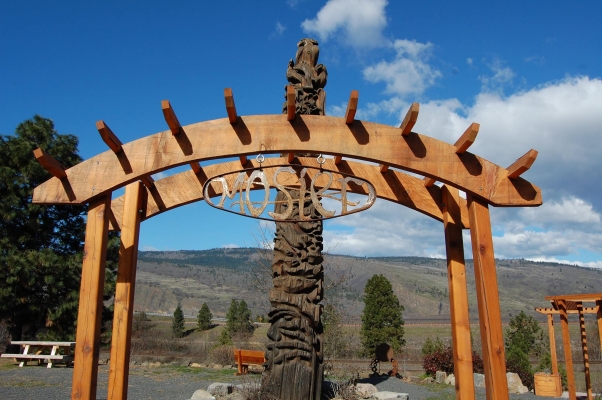
Transforming a historic highway in small town Mosier into a vibrant main street
Kaleidoscope Student Planners, a group of six students in the Master’s of Urban and Regional Planning program at Portland State University, are working with Mosier, Oregon’s City Council to develop the Slow Mo’ Main Street Concept Plan. The goal for the project is to develop conceptual designs and programmatic recommendations for historic Highway 30 (which runs through the town), to help ensure that Mosier’s Main Street reflects community priorities, supports a thriving downtown, and creates a safe and inviting corridor for people traveling on foot, by bike and by motor vehicle. During this seminar we will reflect on our process and discuss how we reached our final design concept and recommendations.
Kaleidoscope Student Planners is a group of six students in the Master’s of Urban & Regional Planning program at Portland State University. Members of the student team include: Amanda Davidowitz, Brandi Campbell, Kathy Wilson, Liz Kaster, Matt Lee, and Neil Heller. Check out our Facebook page at https://www.facebook.com/SlowMoMainStreet to learn more about the project.
The Green Loop SWPDX Workshop Project
The Bureau of Planning and Sustainability proposes the construction of the Green Loop, a 10-mile linear public open space proposed in the West Quadrant Plan update that will further link the east and west sides of the Central City. In addition to physically affirming both sides of the river as part of the Central City, the Green Loop is expected to create a second ring of pedestrian and bicycle access, much like the East Bank Esplanade and Tom McCall Waterfront Park, that will draw activity to retail further from the river.
The Green Loop addresses both the City of Portland’s Climate Action Plan goals of reducing personal vehicle reliance, improving active lifestyles and adding green infrastructure; and filling a transportation gap between two significant university campuses. Portland is also interested in attracting the “interested but concerned” to active transportation. In order to do so, it must provide a bike pedestrian facility that creates the kind of safety and security this group needs.
The purpose of the Green Loop SWPDX project is to explore design concepts and treatments that will create an identity for the Green Loop section between the Tilikum Bridge and the South Park Blocks. A team of 5 Portland State University master’s in urban and regional planning students performed both qualitative and quantitative analysis of this stretch of the Loop. This presentation reports the findings of their research and how it will affect their recommendations. Themes from their findings include safety, activity, facilities and placemaking that will make the Green Loop an ideal facility for the interested but concerned group of users.
Presenter: Jacob Adams. Jake’s purpose for working in the planning field is to help others improve their lives by improving their built environment. He has always been interested in maps and plans and was exposed to real life development through his father’s business building homes and master-planned developments in the mountains and valleys of Utah. He loves the beauty of the natural world and wants to protect it while providing opportunities for economic growth. Over the last few years he has switched his commute to biking and transit and wants to improve the cycling environment for people who want to bike but don’t feel comfortable riding on a busy street.