The video begins at 1:20.

View slides: Foster Presentation (PDF)

View slides: Muhs Presentation (PDF)

View slides: Wagner Presentation (PDF)

Summaries:

Evaluating Driver and Pedestrian Behaviors at Enhanced Multilane Midblock Pedestrian Crossings: Case Study in Portland, Oregon This study examines driver and pedestrian behaviors at two enhanced midblock pedestrian crossings in Portland, Oregon. One crossing is on a five-lane arterial with a posted speed of 35/45 miles-per-hour (MPH) and features six rectangular rapid flash beacon (RRFB) assemblies and a narrow median refuge. The other crossing is on a suburban arterial with four travel lanes and a two-way left-turn lane. The crossing is enhanced with four RRFB assemblies and a median island with a “Z” crossing, or Danish offset, designed to encourage pedestrians to face oncoming traffic before completing the second stage of their crossing. Approximately 62 hours of video have been collected at the two locations. A total of 351 pedestrian crossings are analyzed for driver compliance (yielding) rates, pedestrian...

Read more
LOCATION: PSU, Urban Center Building, Room 204 (Distance Learning Center Wing)
LIVESTREAM ONLINE: Click here on the day of the seminar to stream it live

SEMINAR VIDEO

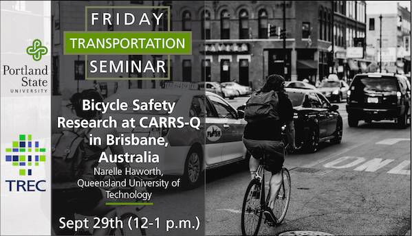
Bicycle Safety (and Other) Research at CARRS-Q in Brisbane, Australia

This presentation will begin with an overview of the activities of the Centre for Accident Research and Road Safety-Queensland. Then a number of bicycle safety research projects...

Read more

The video begins at 0:47.

View handout

Abstract: Using the Seattle Bicycle Master Plan as a model, this presentation will provide a roadmap for developing and implementing bicycle master plans.

Toole Design Group (TDG) served as the prime consultant for the City of Seattle Bicycle Master Plan. In partnership with the City, TDG took a diverse approach to public involvement, including working with a Citizen’s Advisory Committee and local advocacy groups, conducting an online survey, and conduction highly successful public input meetings that were attended by hundreds of people. The project involved extensive GIS and field analysis, and the development of specific recommendations for street reconfigurations and wayfinding signs for a 450-mile network of on and off-street facilities. The project included design innovations such as shared-lane markings, up-hill bike lanes, buffered bike lanes, and new warning and wayfinding signs. It also included new thinking on right-of-way assignment and the design of trail street crossings. In addition, TDG developed bicycle facility design guidelines recommendations for education and enforcement programs to support and encourage bicycling, and policies for integrating bicycle considerations into all City projects and programs. The Plan focused heavily on implementation and included...

Read more

View presentation slides

View example slides

The LCN+ Project Management team are responsible for improving conditions for cycling on a 900-kilometre network of London’s key commuter roads, in line with the Mayor of London’s Cycling Action Plan.

With the initial target of achieving a 200% increase in the number of cyclists in London already surpassed, the project aims to build on this by continuing to advise the 33 London boroughs on how to improve cycling infrastructure on their roads. By effectively liasing with major stakeholders such as local cycling groups, Borough Cycling Officers and Transport for London, the project can ensure that all will have agreed on the solutions reached.

Steve Cardno: Steve is the Project Manager for the London Cycle Network Plus (LCN+) project, with responsibility for the overall project management of this London wide cycling project. The LCN+ project aims to deliver 900km of high quality strategic cycle routes across London by the end of 2009/10. The project is funded by Transport for London (TfL), project managed by Camden Consultancy Services and delivered in partnership with TfL, CCS, the 33 London Boroughs and cycle user...

Read more

View slides

Watch video:

Lessons from the Development of a Guidebook on Pedestrian and Bicycle Connections to Transit

To improve safety and increase transit use, transit agencies and the jurisdictions they serve have to approach transit service as door-to-door not just stop-to-stop.

...

Read more

Watch video

View slides: Bell Presentation (PDF)

Moore Presentation (PDF)

Ma Presentation (PDF)

Summaries: 
Identification and Characterization of PM2.5 and VOC Hot Spots on Arterial Corridor by Integrating Probe Vehicle, Traffic, and Land Use Data: The purpose of this study is to explore the use of integrated probe vehicle, traffic and land use data to identify and characterize fine particulate matter (PM2.5) and volatile organic compound (VOC) hot spot locations on urban arterial corridors. An emission hot spot is defined as a fixed location along a corridor in which the mean pollutant concentrations are consistently above the 85th percentile of pollutant concentrations when considering all other locations along the corridor during the same time period. In order to collect data for this study, an electric vehicle was equipped with instruments designed to measure PM2.5 and VOC concentrations. Second-by-second measurements were performed for each pollutant from both the right and left sides of the vehicle. Detailed meteorological, traffic and land use data is also...

Read more
SEMINAR VIDEO

New Probe Data Sources to Measure Cycling Behavior and Safety


PRESENTATION SLIDES

Want a look back at the presentation slides? View them here.

Emerging probe data sources from smartphones on on-board devices are able to measure behavior of cyclists with very high...

Read more

Pages