
No archived materials are available for this presentation.
The video begins at 0:34.
View slides
Speaker: Joseph Broach, Ph.D. Candidate, Portland State University
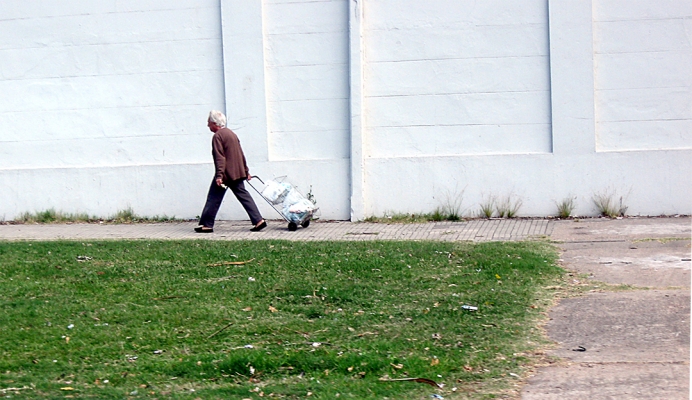
Topic: Trick or Treatment? Impact of Route-Level Features on Decisions to Walk or Bike
Summary: Some travel routes attract people walking and cycling, while others may scare them away. What features of street environments are most important, and how do available routes affect decisions to bike or walk on a specific trip?
Research to date has focused on either large-scale areal measures like "miles of bike lane nearby" or else has considered only shortest path routes. Neither method is suited to capturing the impact of targeted route-level policies like neighborhood greenways. This session will present a new technique for measuring bike and walk accessibility along the most likely route for a given trip. The method is applied to travel data, and results provide new insight into the relationship between route quality and travel mode choice.
The video begins at 2:09.
Abstract: The ability to fully understand and accurately characterize freight route choice is one that will support freight modeling frameworks, and regional and state transportation decisions. This ability, when combined with regional and state commodity flow data, can compose an effective statewide freight modeling framework. Typically, transportation network models take a shortest path assumption for truck routing both for strategic and operational routing decisions. The goal of this research was to determining how different subgroups of shippers, carriers, and receivers make route choices, and to understand how these approaches vary across types of routing decisions. We consider route changes of both a spatial and temporal manner. This talk presents the results of a survey of over 800 shippers, carriers, and receivers in Washington State, and recommends a framework for improving the modeling of routing decisions in existing network models.
Speaker Bio: Professor Anne Goodchild has worked and studied in the transportation field for more than 15 years. Her initial experience in management consulting for transportation providers was followed by the completion of a PhD at UC Berkeley and research experience while developing the freight transportation program at the University of Washington. In addition to a BS in mathematics and an MS and PhD in Civil Engineering, Dr....
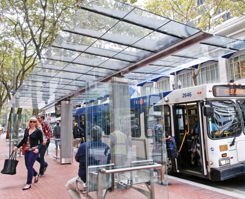
Read moreAbstract: We study the impact on productivity of a specific operating practice currently adopted by some demand responsive transit (DRT) providers. We investigate the effect of using a zoning vs. a no-zoning strategy on performance measures such as total trip miles, deadhead miles and fleet size. It is difficult to establish closed form expressions to assess the impact on the performance measures of a specific zoning practice for a real transportation network. Thus, we conduct this study through a simulation model of the operations of DRT providers on a network based on data for DRT service in Los Angeles County.
The video begins at 2:26.
Watch video
View slides
Where: Room 204 of the Distance Learning Center Wing of the Urban Center at PSU
DASH is the next generation activity based model being developed by the Metro Research Center. Upon completion, it will be one of the most advanced in the nation. This model will be used extensively in estimating the activity and travel response of individuals to policies and infrastructure investments. Compared to past models, it will include enhanced consideration of the socio-economic roles of individuals, discrete temporal dynamics, and intra-household dependencies.
Richard Walker is the manager for the Modeling Services Division at Metro. He manages the technical elements of all programs related to travel and landuse forecasting: including data collection, model development, and model applications. In addition, Mr. Walker currently serves as the chair of the Oregon Modeling Steering Committee – a statewide entity formed to promote collaboration between Oregon modeling agencies with regard to model development activities. As a recipient of a BS degree in civil engineering from Montana State University, he has been a member of the modeling profession for over 40 years.
Watch video
View slides
Topic: Airsage cell phone data and its application in travel modeling
Summary: As part of the initial phase of development for the Idaho Statewide Travel Demand Model, Parsons Brinckerhoff developed a base year auto and truck trip matrix using AirSage cell phone OD data, a statewide network in Cube, traffic counts, and origin-destination matrix estimation (ODME) procedures. To begin, the 4000+ statewide zone system was aggregated into a 700 super zone system for collecting the cell phone OD data. Next, the cell phone data was collected for the month of September 2013 for the following market segments: Average weekday resident HBW, HBO, NHB, and visitor NHB trips. The cell phone trips were then disaggregated to zones using each zone’s share of super zone population and employment. These initial trip matrices were assigned to the daily statewide network using free flow travel time for route impedance and iteratively adjusted to minimize the difference between the estimated link volumes and traffic counts by user class.
This iterative trip matrix balancing procedure, also known as ODME, converged nicely by user class and facility type and produced reasonable flows. The resulting trip matrix trip length frequencies matched fairly well with the...
Read moreWatch video
Abstract: Climate change may be the most serious and urgent issue facing the transportation sector. Transportation is both a major producer of greenhouse gas (GHG) emissions and is also vulnerable to the consequences of climate change. Major reductions in GHG emissions from the transportation sector will be needed in order to avoid the most serious effects of climate change. Travel models can play an important role in evaluating strategies for reducing transportation sector GHG emissions, but prevailing travel models do not address a number of factors that significantly affect GHG emissions. The GreenSTEP model was developed to fill this gap. The model estimates household level vehicle travel, energy consumption, and GHG emissions. GreenSTEP is currently being used to assist the development of ODOT's Statewide Transportation Strategy for reducing GHG emissions and Metro's Climate Smart Communities scenario planning process.
Speaker Bio: Brian Gregor is a senior transportation analyst for the Oregon Department of Transportation (ODOT) where for the past 15 years he has worked on a variety of transportation and land use modeling and analysis projects. He is the principal developer of the GreenSTEP and Land Use Scenario DevelopeR (LUSDR) models. He has also worked on the development and application of Oregon's Statewide Integrated Model (SWIM), lead the automation of ODOT's modeling processes...
Read moreView slides
The video begins at 2:53.
Abstract: The concept of accessibility has long been theorized as a principal determinant of household residential choice behavior. Research on this influence is extensive but the empirical results have been mixed, with some research suggesting that accessibility is becoming a relatively insignificant influence on housing choices. Further, the measurement of accessibility must contend with complications arising from the increasing prevalence of trip-chains, non-work activities, and multi-worker households, as well as reconcile person-specific travel needs with household residential decisions. This paper contributes to the literature by addressing the gap framed by these issues and presents a novel residential choice model with three main elements of innovation. First, it operationalized a time-space prism (TSP) accessibility measure, which the authors believe to be the first application of its kind in a residential choice model. Second, it represented the choice sets in a building-level framework, the lowest level of spatial disaggregation available for modeling residential choices. Third, it explicitly examined the influence of non-work accessibility at both the local- and person-level. This residential choice model was applied in the...
Read more
Watch video
View slides
Where: Room 204 of the Distance Learning Center Wing of the Urban Center at PSU
The ability to forecast future transportation patterns under a particular land-use scenario or urban form is key to making informed decisions at the local and regional levels.
Although several researchers have explored the links between the built environment, socio-demographics and travel behavior, a consensus is not reached.
This talk highlights two recent projects. The first project focuses on individuals’ attitudes towards transportation, neighborhood characteristics and their effects on campus commuters’ transit use, and addresses the question whether attitudes, the built environment or a combination of both explains the resulting transit use better.
The second part presents the Regional Land Use Allocation Decision Analysis Tool developed for The Ohio Department of Transportation, which enables decision makers to quantify the impacts of population and employment distribution in terms of the resulting VMT (Vehicle Miles Traveled). This tool forecasts the impacts of future land-use policies in Ohio, based on alternative assumptions of highway and mass transit corridor development, zoning and environmental constraints, regional growth or decline...
Read more