Although currently only about one percent of US trips are done by bicycle, there is significant geographic variation. Differences across communities, along with much higher cycling rates observed in other places around the world, indicates large potential bicycling demand for daily travel in the US. In response, many communities are developing and implementing bicycle master plans that include a r...Although currently only about one percent of US trips are done by bicycle, there is significant geographic variation. Differences across communities, along with much higher cycling rates observed in other places around the world, indicates large potential bicycling demand for daily travel in the US. In response, many communities are developing and implementing bicycle master plans that include a range of bikeway infrastructure aimed at making riding more appealing, including separated paths, protected (or separated) bike lanes, striped bike lanes, bicycle boulevards, sharrows, route signage, and intersection crossing aids. Given limited resources, planners and engineers need tools to estimate the effects of new infrastructure on behavior. How many more people will ride a bike if a city builds out their planned bicycle network? Which competing project options provide the most bang for the buck? Those are the questions communities are asking, but that our current tools do a poor job of answering.
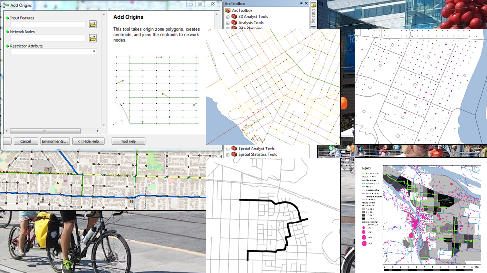
Recent research has sharply advanced our understanding of bicyclist—and potential bicyclist—preferences for different types of bikeways. This project translates that emerging research into a GIS planning tool that is relatively simple and quick to apply but also powerful enough to answer questions about how specific bicycle network changes might impact ridership. Inputs are data on bicycle networks, such as bikeway types, slope, and intersection features, along with local data on origins and destinations and/or widely available Census data. Outputs are quality of connections and predicted bicycle commute rates at Census Tract level under different planning scenario conditions. Scenarios can be compared by incorporating planned bikeway network, population, or land-use changes. The methods allow side-by-side analysis of both the overall impact of a project or plan and the geographic distribution of impacts on connectivity and bicycle commute rates.
This project extends existing sketch tools by improving sensitivity to specific bicycle infrastructure changes and by explicitly linking network connectivity changes to bicycle use outcomes. The GIS tools developed seek to make available to a wider audience analysis methods formerly only available in complex regional travel demand models in a handful of regions.See More