Watch video
View slides
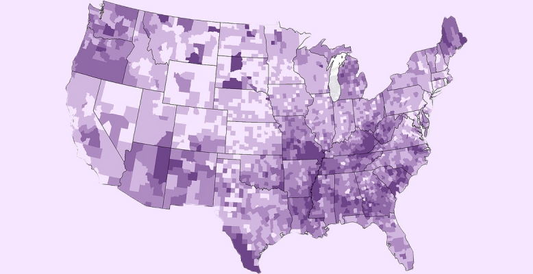
Demographic and socio-economic information provided by the American Community Survey (ACS) have been increasingly relied upon in many planning and decision making contexts due to its timely and current estimates. However, ACS estimates are well known to be subject to larger sampling errors with a much smaller sample size compared with the decennial census data. To support the assessment of the reliability of ACS estimates, the US Census Bureau publishes a margin of error at the 90% confidence level alongside each estimate. While data error or uncertainty in ACS estimates has been widely acknowledged, little has been done to devise methods accounting for such error or uncertainty. This talk focuses on addressing ACS data uncertainty issues in choropleth mapping, one of the most widely used methods to visually explore spatial distributions of demographic and socio-economic data.
Ran Wei is currently an assistant professor in the Department of Geography at the University of Utah. Wei received her PhD in Geography from the Arizona State University in 2013. Her research has focused on GISciences, spatial analysis and optimization, with applications to important urban and environmental problems such as land use planning, transportation and energy infrastructure, public health and crime issues. Her work has been published in a number of peer-reviewed journals including Geographical Analysis, International Journal of Geographic Information Science, the Professional Geographer, Journal of Geographical Systems, Environment and Planning B, Transactions in GIS, and Annals of the Association of American Geographers. In addition, she was the recipient of 2012 Benjamin Stevens Fellowship from the Regional Science Association International, Best Student Paper awards from the Spatial Analysis and Modeling specialty group of the American Association of Geographers and the University Consortium for Geographic Information Science.