
New Modeling Tools Better Represent the Pedestrian Environment
OTREC research from Portland State University has developed a new method of travel demand modeling for pedestrian trips.
Transportation professionals use travel demand modeling to forecast how many people will be using a given portion of the transportation infrastructure. This is typically done using a four-step process, the first step of which relies upon a basic unit known as a transportation analysis zone, or TAZ.
A TAZ is a relatively coarse unit of space that can vary in size depending on planners’ needs; typically it encompasses somewhere around 3,000 residents.
Planners started using TAZs in the 1950s, on mainframe computers with limited capabilities, for guidance in making highway investment decisions. As transportation modeling practice has evolved, computers are capable of processing more data and models are being increasingly relied upon to answer more complex questions.
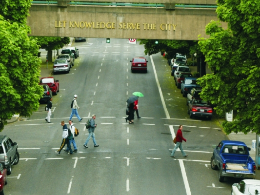
Despite growing investment in infrastructure that supports active forms of travel, existing modeling tools often poorly represent the nuances of the pedestrian environment. The project’s principal investigator, Kelly Clifton of Portland State University, explores ways to improve upon the modeling tools currently in existence.
When considering pedestrian travel, the current practice is usually to either leave walk trips out of the model altogether, or to simply present them as a mode choice option: once trips have been allocated to the "walk" mode, they are not typically analyzed further other than to report their existence.
One reason for this is that the TAZ is a relatively large unit, without a high level of spatial acuity. Analyses using TAZs often lack behavioral sensitivity to the preferences of people using non-motorized modes of travel; for example, analyses at the TAZ level might not take into account physical barriers that affect people’s travel choices on the ground.
Clifton proposes a unit on a finer scale called a PAZ, or pedestrian analysis zone. A PAZ is a 264-foot-by-264-foot area, better for capturing and representing short walking trips. This allows for detailed consideration of walking trips within the four-step model without adding significant additional complexity.
The key to this walk trip model is a new variable: the pedestrian index of the environment (PIE). It improves upon previous regional measures for evaluating "walkability."
The PIE, a weighted index of six different measures of the built environment, is calibrated to represent things that influence walking behavior. The six PIE factors are bicycle access, block size, people per acre, sidewalk density, transit access, and the area's compactness as measured by the Urban Living Infrastructure score (a metric developed for the Portland, Ore. region to describe urban density). These parameters are statistically significant and generally related to the probability of walking.
Clifton’s method uses data that are available to Metro, the regional government for the Portland, Ore. area. To use this method, Metro won’t need to develop significant additional forecasting capabilities: it works within their existing four-step framework.
This has a direct application to Metro’s upcoming planning efforts, and could also be integrated into trip-based travel demand models in other urban areas across the country.
The walk trip model doesn’t have to be integrated with other travel demand modeling structures, either: if desired, it can operate as a stand-alone pedestrian planning tool.
This project was a partnership between the Oregon Modeling Collaborative, Metro, and Toole Design Group. For more details about how the method works, visit the project page to download the final report.