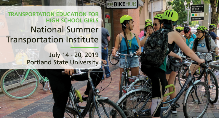
This annual event is hosted at Portland State University by event partners Transportation Research and Education Center at PSU and ChickTech
OVERVIEW
Mapping and spatial analysis has been evolving as an important field of study for centuries. In contemporary times, we refer to it as “GIS”, which stands for Geographic Information Science. Join us at this one-day workshop for high school girls to become familiar with creating and interpreting maps and doing spatial analysis, by working with vehicle crash data from the City of Portland.
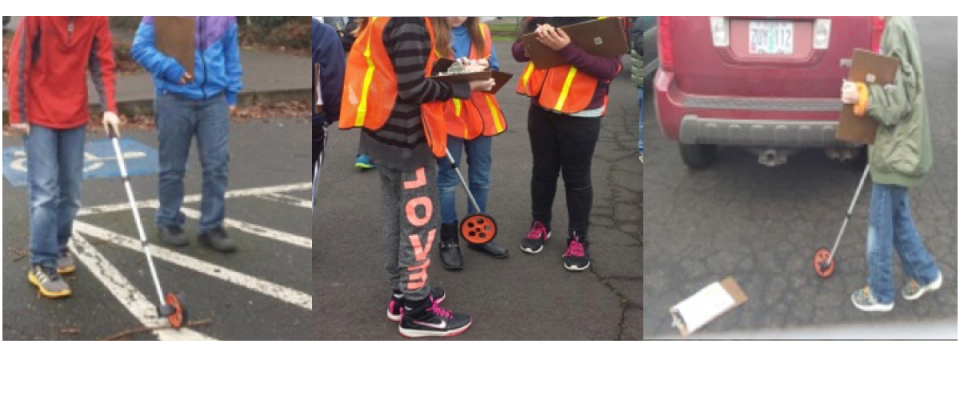
The workshop, held in the Intelligent Transportation Systems (ITS) lab of PSU’s Engineering Building, consists of a morning instruction session and an afternoon applied activity using your newfound GIS skills. Students will be introduced to the basic elements of ArcGIS — including importing data, exploring spatial databases, and visualizing data in different ways through map design. Students will get to make their own interactive web maps using data from their city and neighborhoods.
The day also includes a walking tour of the Portland State University campus to get a real world look at how the transportation issues we learn about in class play out on the ground. By the end of the day you will have a working understanding of GIS and mapping and new ideas for how...
Read more