The video begins at 0:55.
View slides
If you would like to receive continuing education credits such as PDH or CM, please make sure to complete this evaluation form once you've watched the entire video so that we have a record of your attendance.
Watch video:
Read moreSmart Growth America hosted a webinar Jan. 31 on NITC research finding that standard guidelines lead to a drastic oversupply of parking at transit-oriented developments. That restricts the supply of housing, office and retail space while driving up the price.
The webinar marks the release of Smart Growth America's lay summary of the NITC report, called "Empty Spaces," which will be available to webinar attendees.
Watch the recorded webinar here.
The research, led by Reid Ewing of the University of Utah, is one of the first comprehensive data-driven reports to estimate peak parking and vehicle trip generation rates for transit-oriented development projects, as well as one of the first to estimate travel mode shares for TODs. Ewing analyzed data on actual parking usage and total trip generation near five transit stations: Redmond, Washington; Rhode Island Row in Washington, D.C.; Fruitvale Village in Oakland, California; Englewood, Colorado; and Wilshire/Vermont in Los...
Read morePRESENTATION ARCHIVE
OVERVIEW
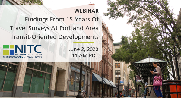
Since 2005, Portland State University has periodically surveyed occupants of recently developed higher-density and mixed-use projects near transit, often referred to as Transit-Oriented Developments (TODs). The general objectives of the surveys were to better understand actual transit use, among other factors, of residents in these buildings. Between 2005 and 2018, the research team surveyed residents of nearly 50 TODs. With funding from Metro and the National Institute for Transportation and Communities, the research team carried out a two-pronged study drawing on this wealth of data. First, we explore geographic differences within the Portland region in terms of travel behavior and attitudes of TOD residents, including differences between TODs within the city of Portland, in eastside suburbs, and in westside suburbs. Second, we conducted a second wave of surveys for select TODs to understand if travel behavior or attitudes changed over time, particularly as neighborhoods surrounding the buildings were built up. In this webinar, we will present select findings from both aspects of the study.
KEY LEARNING OUTCOMES...
Read moreThe video begins at 2:15.
Abstract: If a two-dimensional picture is worth a 1,000 words, how much more can 3D imagery convey? As part of its recently completed Strategic Plan, Metro’s TOD Program in Portland, OR has developed a new GIS -based transit orientation tool to analyze and compare the readiness of its station areas and corridors for higher density mixed-use development. For the purposes of better capturing a more holistic view of the built environment, this innovative measure expands on the 3 “D’s” of density, diversity, and design by adopting the 5 “P’s” of people, places, physical form, performance and pedestrian/bicycle connectivity. Given the program’s interest in catalyzing near-term private development, it goes further to incorporate a strong “market strength” component. In addition to describing the tool and its future implementation, the presentation will demonstrate how the TOD Program developed and used two- and three-dimensional maps and graphics to help convey the complex methodology and findings to a broad audience of policy makers and stakeholders.
Chris is a Senior TOD Project Manager with Metro’s TOD Program in Portland, OR. Along with managing public-private development projects near transit, he led the recently completed TOD Strategic Plan and is participating in corridor planning region-wide. Prior to Metro, Chris specialized in TOD in the public and private sectors.


