Each year, Portland State University’s MURP, or Master’s of Urban and Regional Planning, program hosts a public presentation to showcase the work of its graduating master’s students. Students who graduate with a Master’s in Urban and Regional Planning spend the last two terms of their program collaborating on workshop projects, completing planning tasks for local clients or business organizations.
This year’s presentations took place on Wednesday, attended by a crowd of about a hundred PSU students, professors, MURP clients and community members. Six groups presented their projects. Some of the projects were transportation-focused, especially one titled "Lombard Re-Imagined."
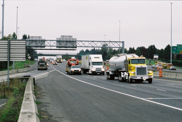
Swift Planning Group, composed of members Kathryn Doherty-Chapman, Zef Wagner, Brian Hurley, Jake Warr, Rebecca Hamilton, and Jodi Jacobson-Swartfager, developed a plan to improve Lombard Street, a key transportation corridor in North Portland.
The challenge facing the group had to do with the many roles that Lombard street plays. The street is both an arterial throughway and a state highway. It is an overdimensional freight route, for trucks that are too big to go anywhere else in North Portland, and it has also been designated as a main street in Metro’s 2040 Growth Concept. The various...
Read more