
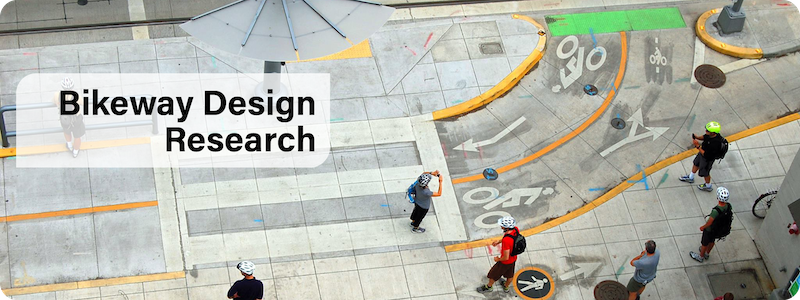
Bikeway Design Research
Portland State University researchers have a broad knowledge of active transportation design principles. We host annual bikeway design workshops which draw professionals from all over the globe, and research from the TREC team has informed NACTO’s Urban Bikeway Design Guide, FHWA’s Bikeway Selection Guide, the FTA’s Manual on Bicycle and Pedestrian Connections to Transit, the FHWA’s Strategic Agenda for Pedestrian and Bicycle Transportation and many other design guidebooks.
Our expertise includes protected bike lanes and intersections, bike boulevards, integrating with transit, and more. Learn more about some of our most impactful research on bikeway design below, or see all our projects on bikes here.
Active Transportation Research Roadmap (2021)
Learn more about the Research Roadmap for the AASHTO Council on Active Transportation.
Making the Case for Bike Boulevards
Bicycle boulevards are streets with low motorized traffic volumes and speeds, designated and designed to give bicycle travel priority. Bicycle Boulevards use signs, pavement markings, and speed and volume management measures to discourage through trips by motor vehicles and create safe, convenient bicycle crossings of busy arterial streets.
Download our Bicycle Boulevard Planning & Design Guidebook (PDF), developed in partnership with Alta Planning + Design. Data for this guide were developed from literature review, case study interviews, and input from a panel of professional experts. And, you can learn more about designing them from NACTO and in FHWA’s Small Town and Rural Design Guide. The fact that bike boulevards are showing up in guides for cities, small towns, and rural areas is a good sign.
So, why should bike boulevards be part of every bike plan? Dr. Jennifer Dill, transportation researcher and planning Professor at PSU, recaps our body of research that supports the case for bike boulevards here.
Improving Integration of Transit Operations and Bicycle Infrastructure at the Stop Level (2019)
Learn more about Improving Integration of Transit Operations and Bicycle Infrastructure at the Stop Level.
Protected Bike Lane Intersections (2019)
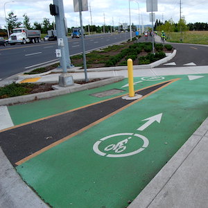
Learn more about the recommended intersection designs for bikeways.
FHWA Guidebook for Measuring Multimodal Network Connectivity (2018)
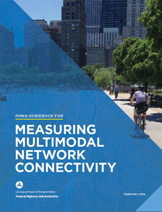 In 2018 the Federal Highway Administration issued a new guide, Measuring Multimodal Network Connectivity (PDF). TREC researchers contributed to the guidebook in partnership with Alta Planning + Design and ICF. The guide provides information on incorporating connectivity measures into state, metropolitan, and local transportation planning processes.A growing body of research points to the key role of high-quality, connected networks in making bicycling and walking safer, more convenient, and more prevalent. The guidebook outlines five core components of pedestrian and bicycle network connectivity, including network completeness, network density, route directness, access to destinations, and network quality. The guide provides a step-by-step framework for selecting and applying connectivity measures to help make decisions that are grounded in a comprehensive vision, supported by clearly defined goals and measurable objectives. It includes references and illustrations of current practices, including materials from five case studies conducted as part of the research process.
FTA Manual on Bike-Ped Connections to Transit (2017)
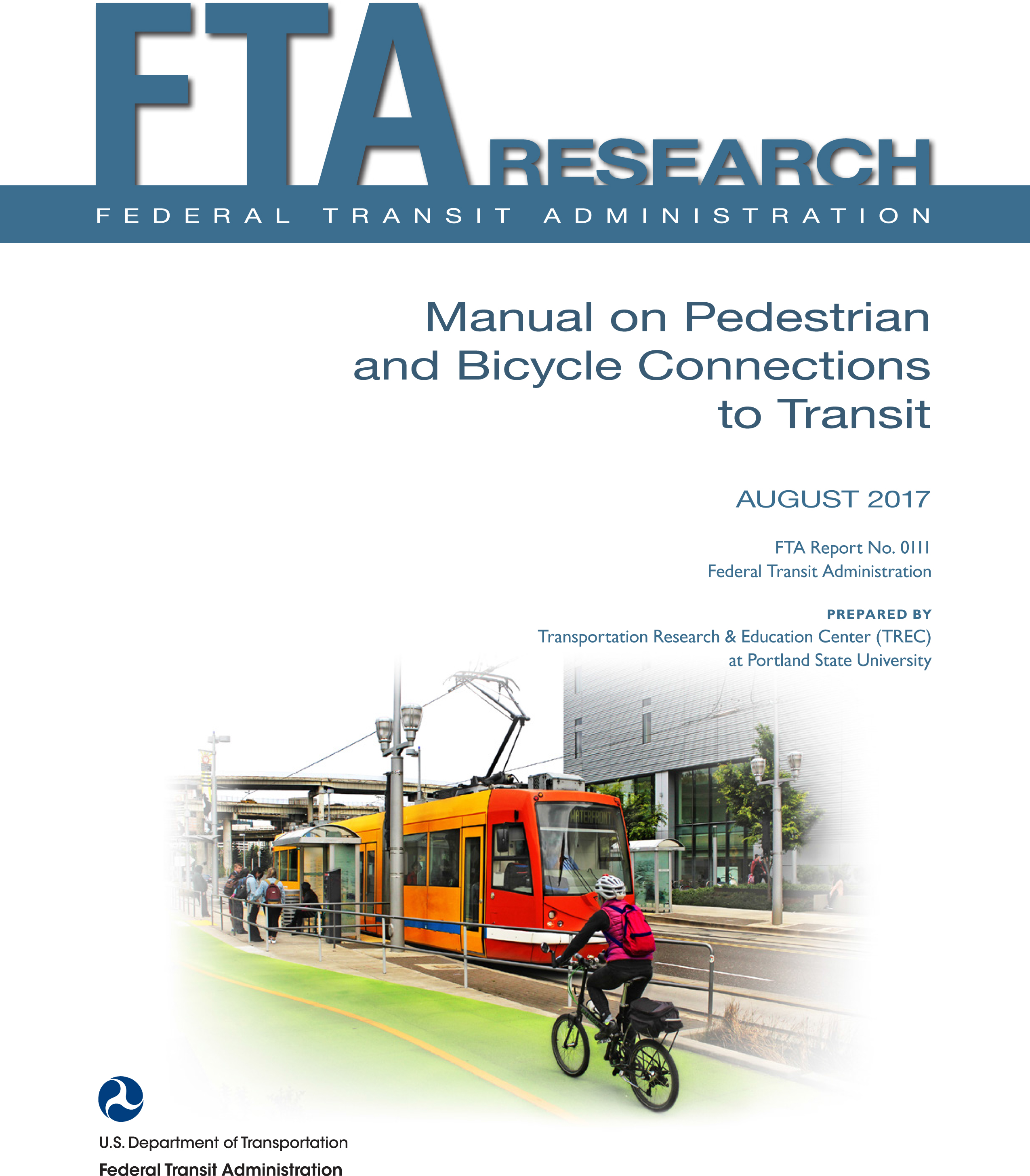 Prepared by PSU researchers at TREC, the Federal Transit Administration (FTA) released a Manual on Pedestrian and Bicycle Connections to Transit (PDF) in 2017. From defining "access sheds" to linking up transit and bike share, the manual is a rich resource for planners and engineers looking to boost their city's bicycle and pedestrian transit access. The book compiles best practices to help transit and other transportation professionals improve pedestrian and bicycle safety as well as access to transit. This includes guidance on evaluating, planning for, and implementing infrastructure improvements. It also provides a review of the research to back up what these practices do and why they work to improve pedestrian and bicycle safety and access to transit, including information on evaluating, planning for, and implementing improvements to pedestrian and bicycle access to transit.
Creating Walkable + Bikeable Communities: Master Planning Guidebook
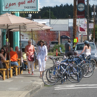 The growing focus on context sensitive solutions and design in roadway planning, increased support for addressing public health objectives through transportation and land use planning, and concerns about oil dependence and global warming all point to a need for planning practitioners to have more knowledge and skills related to pedestrian and bicycle planning. This guidebook is intended to serve as a guide for planners, engineers and elected officials who will be producing a new or updated bicycle and/or pedestrian master plan. Data for this guide was developed from literature review, case study interviews, and input from staff at Alta Planning + Design. This project was supported by TREC, and Alta Planning + Design.
Download the Creating Walkable + Bikeable Communities Master Planning Guidebook (PDF).
Lessons from the Green Lanes: Evaluating Protected Bike Lanes in the U.S. (2014)
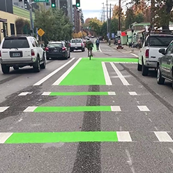
Learn more about Lessons from the Green Lanes: Evaluating Protected Bike Lanes in the U.S.
The People Behind the Research
PSU researchers working on these projects include:
- Joe Broach, Research Associate, Transportation Research and Education Center (TREC); Senior Researcher and Modeler, Metro
- Jennifer Dill, Director of the Transportation Research and Education Center (TREC); Professor, Urban Studies and Planning, Portland State University
- Miguel Figliozzi, Professor, Civil Engineering; Founder and Co-Director of Transportation Technology and People (TTP) Lab, Portland State University
- Sirisha Kothuri, Senior Research Associate, Civil and Environmental Engineering, Portland State University
- Chris Monsere, Professor and Chair of Civil and Environmental Engineering, Portland State University
- Nathan McNeil, Research Associate, Urban Studies and Planning, Portland State University
Online Education
We have presented a variety of webinars and online seminars focused on this topic, and are always adding more. Check out our ongoing YouTube playlist of education on bikeway design, innovation and bicycle safety.