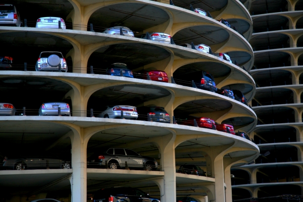
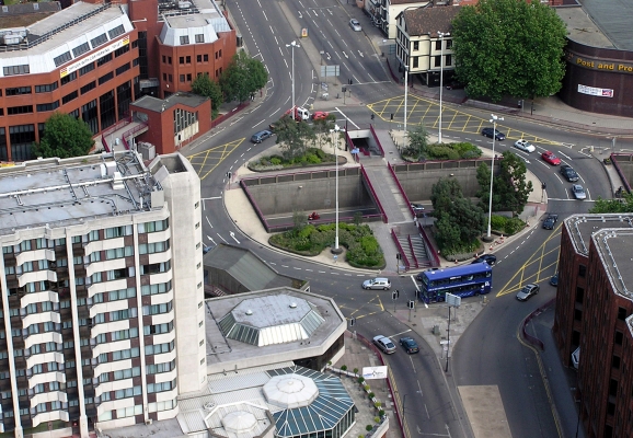
This summer we're hosting a two-part data science course. You can register for one or the other– or attend both parts at a discount: Data Science Course 2018, Part 2: Intermediate/Advanced Scientific Computing for Planners, Engineers, and Scientists.

----

CLICK HERE TO REGISTER

Did you ever feel you are “drinking from a hose” with the amount of data you are attempting to analyze? Have you been frustrated with the tedious steps in your data processing and analysis process and thinking, “There’s gotta be a better way to do things”? Are you curious what the buzz of data science is about? If any of your answers are yes, then this course is for you.

Classes will all be hands-on sessions with lecture, discussions and labs. Participants can choose to sign up for one or both courses. For more information, ...

Read more

Watch video

View slides

Summary: The transportation system is the backbone of the United States' economy, and transportation is an essential part of everyday life for American citizens. It is essential that the transportation system continue to provide accessibility and connectivity to an ever-evolving global economy. A key way to do so is to embrace, develop and implement new technologies. One of the newest and most promising facets of transportation-related technology is in the field of connected mobility. The vision behind connected mobility is of a transportation system where vehicles, travelers, and infrastructure are all wirelessly connected with one another and able to transmit real-time data about things like weather, location, and vehicle and infrastructure status. Such a degree of connectivity could have substantial benefits for the safety, mobility, and sustainability of the domestic transportation system, including accident prevention and congestion reduction. In recent years, major strides have been made into the research and development of connected mobility technology and some field-testing has commenced, but there is a need for more attention and investment from stakeholders throughout the transportation community and beyond. 

Bio: Robert Bertini is a...

Read more

The video begins at 2:26.

Abstract: This report offers a new view of urban transportation performance. It explores the key role that land use and variations in travel distances play in determining how long Americans spend in peak hour travel. It shows how the key tool contained in the Urban Mobility Report – the Travel Time Index – actually penalizes cities that have shorter travel distances and conceals the additional burden caused by longer trips in sprawling metropolitan areas. Finally, it critically examines the reliability and usefulness of the methodology used in the Urban Mobility Report, finding it does not accurately estimate travel speeds, it exaggerates travel delays, and it overestimates the fuel consumption associated with urban travel. How we measure transportation systems matters, and the nation needs a better set of measures than it has today.

Watch video

View slides

View Q&A: This document contains questions that were submitted during the webinar and the answers to them, which were not included in the broadcast due to time constaints.

Learn from experts and share your knowledge of how to count pedestrians. Are people with clipboards the only way? What technologies work and how can we use them? How can an agency improve an existing or start a new pedestrian count program? Join us for an information sharing webinar on this quickly evolving topic. We will learn from leaders in the field and encourage active audience involvement, so come prepared to share your experience!

This IBPI webinar is part of a project sponsored by FHWA to study best practices in pedestrian traffic monitoring.

Portland State University is working with ICF International and Sprinkle Consulting on a contract to the U.S. Department of Transportation, Federal Highway Administration to advise them on potential improvements to the Traffic Monitoring Guide specific to pedestrian travel.

Featuring:

  • David Jones of the Federal Highway Administration will introduce the topic and...
Read more

This summer we're hosting a two-part data science course. You can register for one or the other– or attend both parts at a discount: Data Science Course 2018, Part 1: Introduction to Scientific Computing for Planners, Engineers, and Scientists

----

CLICK HERE TO REGISTER

Did you ever feel you are “drinking from a hose” with the amount of data you are attempting to analyze? Have you been frustrated with the tedious steps in your data processing and analysis process and thinking, “There’s gotta be a better way to do things”? Are you curious what the buzz of data science is about? If any of your answers are yes, then this course is for you.

Classes will all be hands-on sessions with lecture, discussions and labs. Participants can choose to sign up for one or both courses. For more information, download the...

Read more

Watch video

View slides: Bell Presentation (PDF)

Moore Presentation (PDF)

Ma Presentation (PDF)

Summaries: 
Identification and Characterization of PM2.5 and VOC Hot Spots on Arterial Corridor by Integrating Probe Vehicle, Traffic, and Land Use Data: The purpose of this study is to explore the use of integrated probe vehicle, traffic and land use data to identify and characterize fine particulate matter (PM2.5) and volatile organic compound (VOC) hot spot locations on urban arterial corridors. An emission hot spot is defined as a fixed location along a corridor in which the mean pollutant concentrations are consistently above the 85th percentile of pollutant concentrations when considering all other locations along the corridor during the same time period. In order to collect data for this study, an electric vehicle was equipped with instruments designed to measure PM2.5 and VOC concentrations. Second-by-second measurements were performed for each pollutant from both the right and left sides of the vehicle. Detailed meteorological, traffic and land use data is also...

Read more

Pages