A new transportation comic, "Moving From Cars To People (PDF)," offers a succinct and fun introduction to a complicated topic: namely, how the built environment in the United States came to be designed for cars and what we can do about it.

Want a physical copy? Here are a few ways to get one:

Read more
An aerial view of a multifamily housing complex next to a road
Photo by cegli
Kelly Clifton, Portland State University

Many cities are reconsidering their reliance on ITE's Trip Generation Manual, now in its 10th edition. 

Kelly Clifton, TREC researcher and associate dean for research of Portland State University's Maseeh College of Engineering & Computer Science, is one of the people leading the charge to identify better, more nuanced ways to anticipate transportation demand; especially person (non-car) trips. In an extended series of TREC projects, Clifton and...

Read more
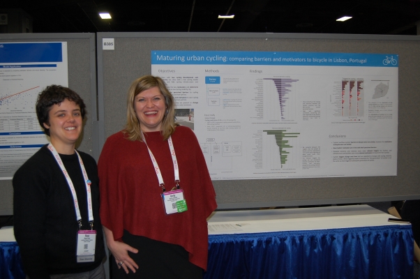
Kelly Clifton and student - presenting research at TRB Annual Meeting
Principal Investigator: Kelly Clifton, Portland State University
Research spans multiple studies and years of work.
This content was originally published in the June 2018 edition of the  U.S. DOT UTC Spotlight series (PDF).

In recent decades, cities have become increasingly motivated to invest in infrastructure that supports multimodal options like walking, biking and public transit. Trip generation, the first step in conventional four-step forecasting models, is a central figure in determining how those investments are made.

However, when considering pedestrian and bicycling travel, the current practice is usually to either leave those trips out of the model altogether, or to simply present them as a mode choice option that is not analyzed further. In short, they’re car-centric.

Without reliable trip generation rates for anyone but drivers, an accurate transportation impact is difficult to predict. Certain land uses will draw far more walkers, cyclists and transit riders than drivers. Cities...

Read more

The city of Portland is using research and expertise from TREC researchers to change how it calculates fees for new development. Developers pay the fees, called transportation system development charges, to offset some of the costs of providing transportation infrastructure.
 
The foundation for those fees has been cars: that is, how many car trips a development will generate. In December, the Portland City Council voted to instead use “person trips” as the basis for those fees.
 
Researchers Kelly Clifton and Kristina Currans have assembled an impressive portfolio of research projects on trip generation. Their research caught the attention of city officials, who brought Clifton and Currans in as consultants to help them rethink the way they assess new fees for development.
 
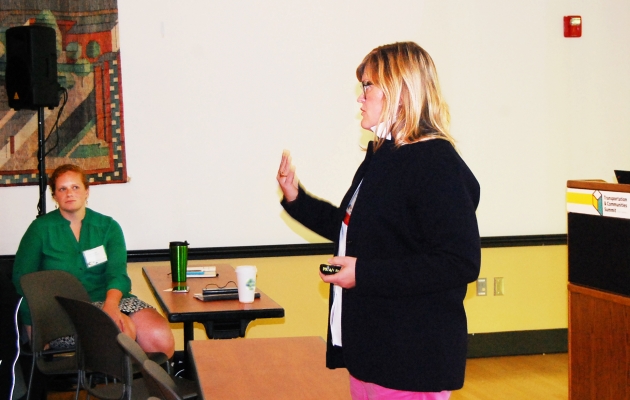
Their work found a receptive audience of practitioners at TREC’s flagship conference, the Transportation and Communities Summit, last fall. Clifton and Currans held a workshop on improving trip generation methods to better represent the mix of modes found in livable communities. That led to a collaboration with transportation consultants...

Read more

A new NITC report offers a multimodal framework for transportation impact analysis – a welcome tool for professionals in many cities seeking more detailed data about non-drivers.

Improving Trip Generation Methods for Livable Communities, a research project headed by Kelly Clifton of Portland State University and Nico Larco of the University of Oregon, is the latest effort in an ongoing collaboration to create more open sourced, widely available data about non-motorized road users.

Over the last decades, cities have become more invested in fostering the conditions to support walking, biking and public transit.

The land development process presents a unique challenge.

Prior to a zoning change or new development, someone has to determine what its impact on the transportation system will be, and whether upgrades will be necessary to accommodate travelers to the new destination. Trip generation is the first step in the conventional transportation forecasting process.

Current trip generation methods used by engineers across the country tend to focus on motorized modes.

Without reliable trip generation rates for anyone but drivers, the transportation impact is difficult to predict. Certain land uses will draw far more walkers,...

Read more
OTREC research has taken steps toward developing trip generation rates for sites in a multimodal context.
Trip generation refers to the number of vehicle trips that are predicted to originate in a particular zone. The Institute of Transportation Engineers (ITE) provides standard trip generation rates, but these rates are primarily measured in low-density suburban areas.
In areas that have a more compact urban form, better access to transit and a greater mix of land uses, fewer (and shorter) vehicle trips might actually be generated there than the current ITE rates indicate.
A project headed by Kelly Clifton, of Portland State University, examines the ways in which urban context affects vehicle trip-generation rates across a variety of land uses.
 
Results from this study reveal a trend: For all land uses tested, vehicle-trip rates decrease as neighborhood types become more urban.
There is a strong industry bias toward using ITE-published rates, so that when local governments are evaluating transportation impacts and calculating transportation system development charges, they are often compelled to use the...
Read more

Planners looking to develop an dense mix of urban land uses often face a dilemma: they’re using trip-generation models that undercount the very trips on bicycle and foot that the planners encourage while paving the way for more driving.

Portland State University Associate Professor Kelly Clifton dove into the topic Monday, presenting a paper at the Transportation Research Board annual meeting in Washington D.C. Kristina Currans of PSU, April Cutter of Metro, and Robert Schneider of the University of California Berkeley are coauthors.

Clifton and other panelists agreed that the Institute of Transportation Engineers’ trip generation rates don’t adequately reflect actual trips in an urban area with multiple land uses and transportation modes. They differed on the remedy, however.

Presenting another paper, Associate Professor Kevan Shafizadeh of California State University Sacramento, evaluated and tested several complex methods, finding that none truly suits smart-growth development projects. However, Shafizadeh and his team found that every method tested does a better job at predicting the number of trips generated than the ITE rates.

We need to predict trips better, Clifton said, but perhaps a simpler solution exists. She acknowledged Shafizadeh’s conclusions that each alternative also had deficiencies in certain applications, and suggested that the ITE rates could be tweaked instead of scrapped entirely.

“It’s a Band-Aid to temporarily adjust...

Read more

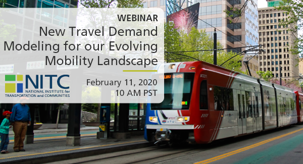
New Travel Demand Models

PRESENTATION ARCHIVE

OVERVIEW

Conventional four-step travel demand models are used by nearly all metropolitan planning organizations (MPOs), state departments of transportation, and local planning agencies, as the basis for long-range transportation planning in the United States. A flaw of the four-step model is its relative insensitivity to the so-called D variables. The D variables are characteristics of the built environment that are known to affect travel behavior. The Ds are development density, land use diversity, street network design, destination accessibility, and distance to transit. In this seminar, we will explain how we developed a vehicle ownership model (car shedding model), an intrazonal travel model (internal capture model), and mode choice model that consider all of the D variables based on household travel surveys and built environmental data for 32, 31, and 29 regions, respectively, validates the models, and demonstrates that the models have far better predictive accuracy than Wasatch Front Regional Council (WFRC)/Mountailand Association of Governments’ (MAG) current models.

In this webinar, researchers Reid Ewing and Sadegh Sabouri will...

Read more

By Kristina M. Currans

In August 2014, the Institute of Transportation Engineers released the 3rd edition of the Trip Generation Handbook, a 352-page text that has traditionally, until only recently, provided guidance on estimating vehicle trips generated from new development. Among other updates, this new edition includes new chapters summarizing the most recent research and methods developed allowing users to account for people (not just vehicles) in trip generation estimation practices. This industry’s transition to estimating and understanding the “people” traveling to development has been in high demand from communities looking to accommodate multimodal travel, but there still remain a number of limitations in the guidelines presented.

One such limitation is that we currently have few data that allow us to directly estimate person trip rates. Instead we are often required to: (1) estimate vehicle trips using suburban vehicle trip rate data, defined as a “base rate”; (2) convert the vehicle trips into an estimated person trips using an assumed mode share and vehicle occupancy rate from the ITE’s suburban vehicle-oriented data, and; (3) reallocate the estimated person trips into different modes (bike, walk, drive, transit, etc.) based on the urban context of the development. This “direct mode share adjustment” forces the user, first, to assume that person trip rates do not vary across urban contexts and, second, to assume...

Read more

Smart Growth America hosted a webinar Jan. 31 on NITC research finding that standard guidelines lead to a drastic oversupply of parking at transit-oriented developments. That restricts the supply of housing, office and retail space while driving up the price.

The webinar marks the release of Smart Growth America's lay summary of the NITC report, called "Empty Spaces," which will be available to webinar attendees.

Watch the recorded webinar here.

The research, led by Reid Ewing of the University of Utah, is one of the first comprehensive data-driven reports to estimate peak parking and vehicle trip generation rates for transit-oriented development projects, as well as one of the first to estimate travel mode shares for TODs. Ewing analyzed data on actual parking usage and total trip generation near five transit stations: Redmond, Washington; Rhode Island Row in Washington, D.C.; Fruitvale Village in Oakland, California; Englewood, Colorado; and Wilshire/Vermont in Los...

Read more

Pages