If you could securely pick up your packages on your commute by public transit, from any carrier—be it USPS, FedEx, UPS or other companies, would you? Transit agencies could be missing a potential strategy to increase ridership by offering common carrier parcel lockers at transit facilities.
Mitigating the demands on our urban transportation networks by consolidating parcel deliveries at high trafficked transit facilities could also benefit retailers, logistics and carrier companies, and consumers. But how do we ensure the equitable distribution of these sites for disadvantaged populations, while keeping accessibility in mind?
Using real world data from the Portland, OR region, a new study from researchers at Portland State University (PSU) offers a multiple-criteria approach using accessibility and equity metrics, including ridership, mode of transportation, spatial distribution, and sociodemographic profiles of coverage areas.
Limited Free Access: The article in Transportation Research Record, "Accessibility and Equity Analysis of Transit Facility Sites for Common Carrier Parcel Lockers," by Katherine Keeling, Jaclyn Schaefer and Miguel Figliozzi, will be free to access for two months.
“There are multiple types of transit facilities that could work well as host sites for parcel lockers, but the accessibility and equity tradeoffs are complex,” shared Miguel Figliozzi, PSU engineering professor. “Transportation practitioners and policymakers have a lot to consider when prioritizing locations.”
Who could benefit from a common carrier parcel locker at transit facilities?
A lot of people stand to benefit from implementing common carrier parcel lockers at transit facilities: consumers, transit users, logistics and shipping companies, and the retailers.
If offered as a one-stop location for packages from different couriers, consumers could have the convenience of picking up multiple packages while getting on or off public transit. This is easily integrated into trip chaining–including spots near their home, workplace, or frequent errands. An added benefit is that an automatic/unmanned parcel locker system can offer 24-hour operations and more security than a porch drop-off.
Fragmentation and inefficient routing in delivery drives up the cost of last-mile logistics, especially to residential areas. Sometimes, older multi-unit complexes lack adequate space for receiving packages. Consolidation of multiple deliveries to one locker offers efficiencies of scale for delivery operations. Being less energy and time intensive, this could both lower carbon emissions and labor costs.
More efficient shipping options can reduce the costs that retailers absorb when they promote “free” shipping. Secure parcel lockers can also prevent profit losses due to order replacements or refunds to cover stolen packages.
Where do people ride transit, and is it accessible?
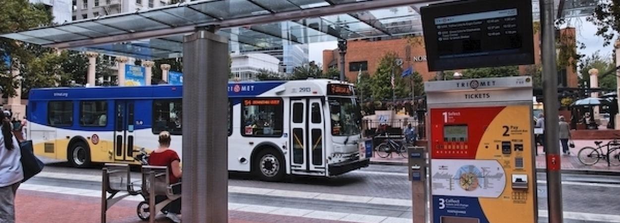
The ridership evaluation identified transit facilities with high levels of potential locker users. Researchers looked at a wide variety of transit facilities in Portland, OR–including: bus stops, light rail stops, bus + rail stops, transit center (bus only), transit center (bus + rail), park-and-rides (PaR), transit center + park-and-rides, and transit mall segments.
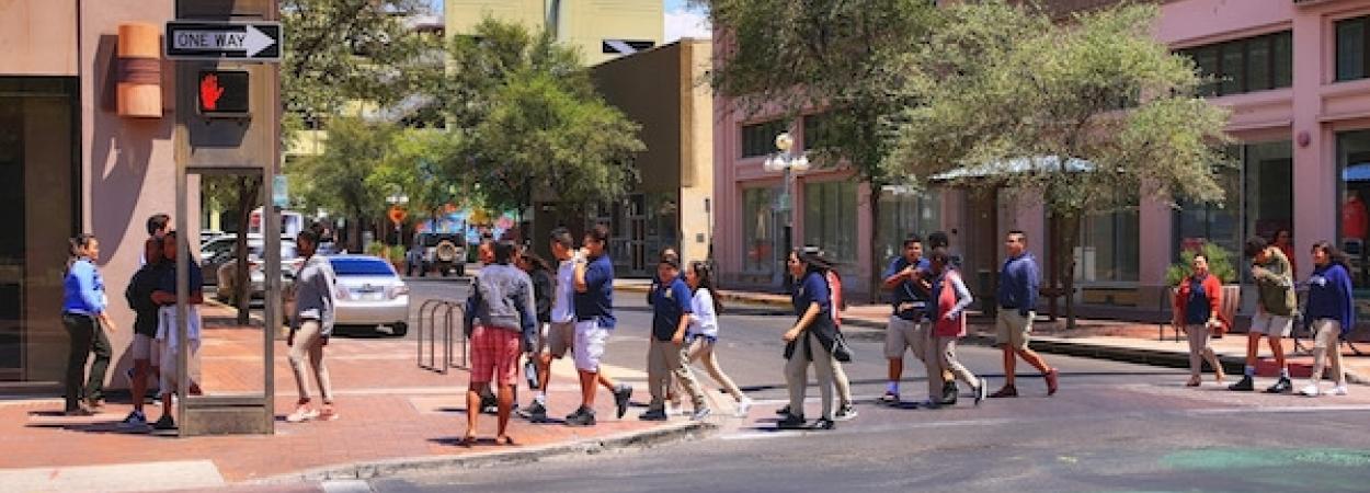
Ultimately, the case study indicated that most of the high-ridership transit facilities are within the city center, where PaR facilities are absent. In fact, over half of the 20 highest ridership locations are segments of the downtown transit mall.
The accessibility by mode was extended not only to study equity issues but also because most research on transit-oriented lockers assumes that the catchment area for transit riders is constrained by the distance they are willing to walk with a parcel. However, transit riders that drive their personal vehicle to PaR facilities will not be inhibited by ‘‘willing to walk’’ estimates, and similarly, those who access transit via bicycle are not best represented by ‘‘willing to walk’’ estimates.
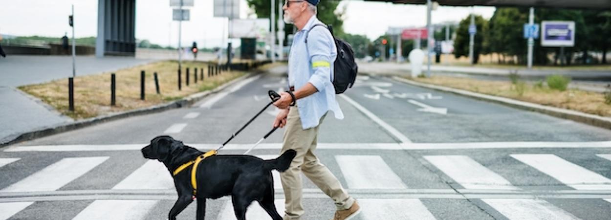
Keeping in mind the geometric design of the transit facility, consideration should be given to a loading/unloading zone that could accommodate heavy freight vehicles without interfering with transit activities. Turning radii and sight lines need to be safe for these delivery vehicles. Accessible design is also important for people with mobility impairments and/or and wheelchair users in the facility.
What method was used to determine equitable distribution of the parcel lockers?
“Immediately prior to this work, I had co-written a paper looking at the equity and environmental justice policy implications in home deliveries,” shared Figliozzi. “Disadvantaged groups are less likely to adopt home deliveries, and there are apparent barriers. That got me interested in considering how locating parcel lockers at transit facilities could potentially overcome some of those barriers.”
Some of the equity metrics they looked at included mode of transportation, population, where employers are located, and other key socioeconomic aspects (income, race, education level, and internet access). This was then compared among the twenty highest ridership transit facilities.
The study demonstrated that there are complex tradeoffs between spatial coverage, type of facility, and equity metrics. There will always be budget constraints, and outside the scope of this research they must be considered alongside the design (and limitations) of the sites when looking at real-world implementation of lockers.
Implementing pilots at transit malls and suburban park-and-rides
Based on the data collected, a common carrier parcel locker system could take advantage of the high number of riders and foot traffic at the transit malls. It offers consolidated parcel collection points at the densest area of the city’s employment and transit networks. Another good option is at suburban PaR facilities which improves spatial equity and coverage, but also has the potential to serve a much greater population given the accessibility to drivers.
If cities and transit agencies are proactive in attracting public-private partnerships with delivery companies, a common carrier locker system could start with a pilot. Implementing a small number of locations and applying an equity-first approach would offer incremental growth of the program that is cost efficient, reaches a large population, and also covers areas serving disadvantaged populations.
Questions remain around how to best design accessible locker sites, and how to plan for the safety of parcel carriers and consumers. “Looking beyond the convenience of these parcel lockers, they should be considered when talking about the evolution of equitable transit-oriented development,” said Figliozzi. “This is one tool we could use in reducing the environmental impact of the last mile in freight delivery.”
About the Research
This article, “Accessibility and Equity Analysis of Transit Facility Sites for Common Carrier Parcel Lockers”, by Katherine Keeling, Jaclyn Schaefer, and Miguel A. Figliozzi and published in Transportation Research Record (TRR), will be free to access for a limited time.
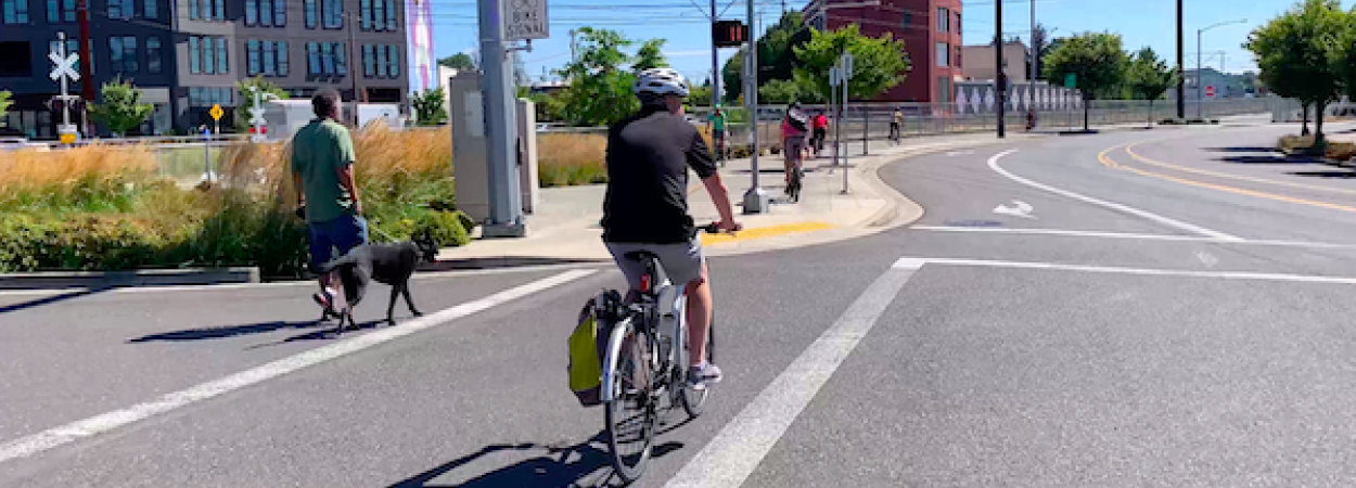
Photo courtesy of TriMet
The research is funded by the Freight Mobility Research Institute––a U.S. DOT university transportation center.
The Freight Mobility Research Institute (FMRI), housed in the Department of Civil, Environmental and Geomatics Engineering within FAU’s College of Engineering and Computer Science consists of a consortium of experts from universities across the nation with expertise in freight transportation, network modeling, sustainability, and intelligent transportation systems. http://eng.fau.edu/