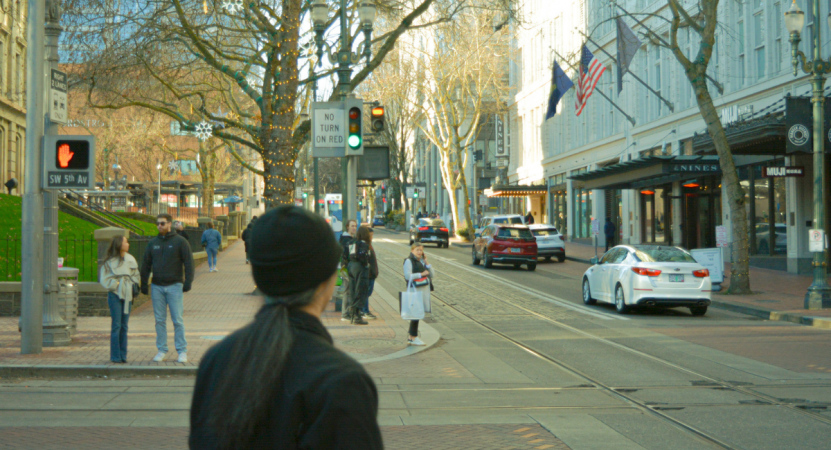
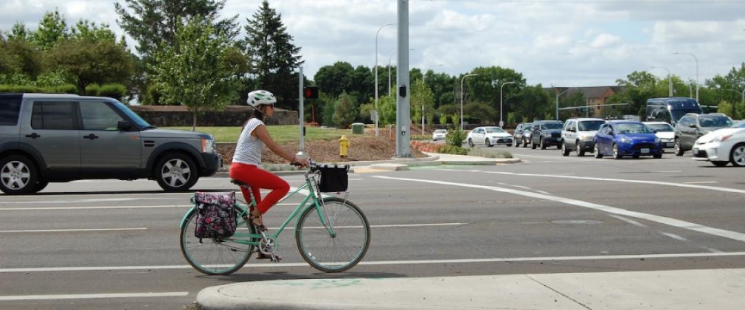
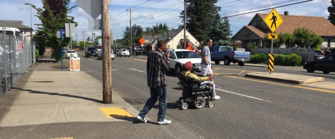
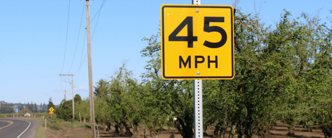
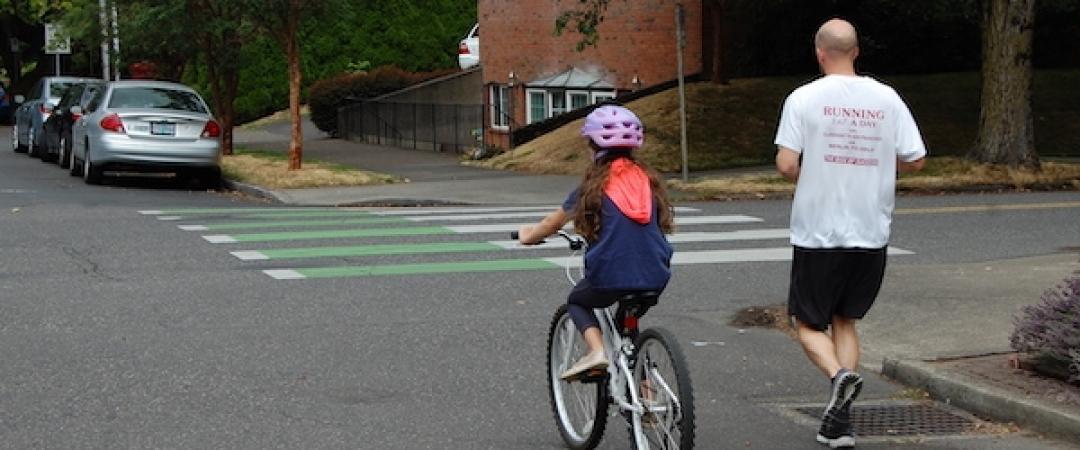
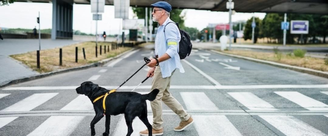
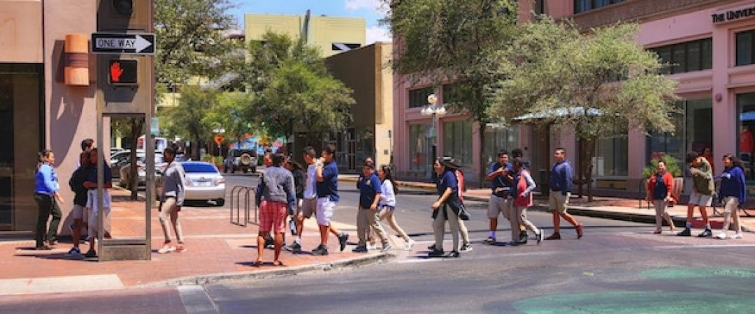
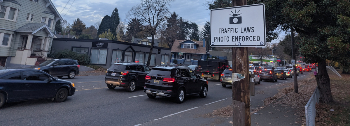
Many states, including Oregon, are adopting the Safe System approach to improve traffic safety. One key element of this approach is safer speeds. To help make Oregon's road safer for everyone, Portland State University (PSU) is launching a new study, funded by the Oregon Department of Transportation (ODOT), to improve safety at intersections using traffic signals.

The project is led by Sirisha Kothuri of Portland State's civil and environmental engineering department, with Patrick Singleton of Utah State University.

It is generally accepted that automobile speeds play a key role in safety: The faster a car is traveling, the greater the risk of severe injury to vulnerable road users in a collision (especially people who are walking or bicycling). Most pedestrian crashes occur on higher-speed, multi-lane arterials.

To manage speed in the urban environment, one emerging strategy is to use traffic signals. Traditional traffic signal timing strategies have prioritized vehicle travel at the expense of other users such as pedestrians, and do not directly account for the safety of road users.

Traffic signal control strategies to improve the pedestrian experience (including safety) exist, but few have been evaluated for their effectiveness. Strategies include reducing cycle lengths, adjusting signal timing based on traffic volumes, time of day schedule changes, and resting on red (where the light stays red for longer at intersections with high pedestrian traffic, so that cars must come to a complete stop before proceeding through the intersection). This study proposes to evaluate the effectiveness of traffic signal control strategies for speed management at multiple Oregon intersections.

The team will collect and analyze data on how different signal strategies affect safety and operations, both on a short-term and longer-term basis. The primary research objectives are to:

  • Evaluate the effectiveness of traffic signal control strategies for speed management on safety-related and operational indicators at multiple Oregon intersections,
  • Develop guidance for agencies on the use of traffic signals to manage speeds.

Once the researchers have produced guidance based on their findings, ODOT and other agencies will be able to use this guidance to determine the most effective signal strategies to use at various types of intersections, to ensure safe speeds and efficient travel for all road users. 

The research stands to advance safety for people walking, driving, rolling or bicycling through signalized intersections.

Photo by Eugene Bartolome/iStock

Portland State University's Transportation Research and Education Center (TREC) is a multidisciplinary hub for all things transportation. We are home to the Initiative for Bicycle and Pedestrian Innovation (IBPI), the data programs PORTAL and BikePed Portal, the Better Block PSU program, and PSU's membership in PacTrans, the Pacific Northwest Transportation Consortium. Our continuing goal is to produce impactful research and tools for transportation decision makers, expand the diversity and capacity of the workforce, and engage students and professionals through education, seminars, and participation in research. To get updates about what's happening at TREC, sign up for our monthly newsletter or follow us on social media. 

Researchers
skothuri@pdx.edu

Tags

One of the most common locations for fatal motor vehicle–bicyclist crashes is at intersections. A newly published report offers guidance for improving intersection safety, especially in situations where a bike is traveling straight through an intersection and a car is turning across the cyclist's path.

The objective of the study was to develop guidelines and tools for transportation practitioners to reduce and manage conflicts between bicyclists and drivers turning at signalized intersections.

"Reducing Conflicts Between Turning Motor Vehicles and Bicycles: Decision Tool and Design Guidelines" was funded by the National Cooperative Highway Research Program (NCHRP), a program of the National Academies of Sciences, Engineering, and Medicine. The research was led by Toole Design in partnership with Portland State University (PSU), Safe Streets Research and Consulting (SS) and Oregon State University (OSU). The PSU team members were Chris Monsere, Sirisha Kothuri and Jason Anderson of the Maseeh College of Engineering and Computer Science, and Nathan McNeil of the Transportation Research and Education Center (TREC).

WHAT DID THE RESEARCHERS STUDY? 

The research team conducted crash analysis, video-based conflict analysis, and a human factors study to better understand the effects of known common risk factors. These known risk factors include vehicle volume, vehicle speed, and bicyclist volumes. They also evaluated the relative safety performance of five different intersection treatments: 

  1. Conventional bike lane at intersection,
  2. Separated bike lane at intersection,
  3. Pocket bike lane,
  4. Mixing zone, and
  5. Protected corner.
Intersections

While there are many other types of intersection treatments available, such as bike boxes, two-way separated bike lanes or shared-use paths, these five were selected for study based on critical knowledge gaps identified through a review of the existing research.

WHAT DID THEY LEARN? 

Based on the safety analysis, the researchers concluded the following for each intersection treatment:

Separated bike lanes and protected corners at intersections are the preferred treatments, with leading interval or full-phase signal separation in some conditions.

Conventional bike lanes at intersections are only recommended once practitioners have made every effort to reallocate space to provide a protected corner or a separated bicycle lane.

Pocket bike lanes are only recommended in limited situations.

Mixing zones are only recommended if right-turning motor vehicle volumes are high and practitioners have made every effort to reallocate space to provide a right-turn lane and a separated bicycle lane at the intersection.

HOW WILL THIS HELP IMPROVE SAFETY AT INTERSECTIONS?

The decision tool and supplemental design guidelines shared in this report provide an expanded framework for practitioners to assess trade-offs between various intersection treatments, and guidance to help them make decisions to manage conflicts between bicyclists and right-turning motorists. 

The Decision Tool

The tool, illustrated here as a flowchart, provides guidelines related to urban, suburban, and rural town center land-use contexts. It focuses on the primary risk factors most likely to affect safety outcomes for bicyclists.  

Flow chart of the decision tool. The text-based version of this can be found in the linked final report.

The Design Guidelines

In a set of supplemental design guidelines, the researchers provide recommendations for mitigating known safety concerns for each intersection treatment. The fourth chapter of the report includes comprehensive detail and discussion of each treatment.

These guidelines incorporate the safety performance of treatments, while considering bicyclists’ perceived comfort, which can affect if and where people will ride bikes. 

In order to effectively apply the decision tool and the guidelines, practitioners should have an understanding of several key concepts, including the Safe Systems Approach, which are discussed in detail in the chapter on Decision-Making Principles.

This report stands as a valuable resource for transportation practitioners who are seeking evidence-based guidance on how to create safer intersections.

Portland State University's Transportation Research and Education Center (TREC) is a multidisciplinary hub for all things transportation. We are home to the Initiative for Bicycle and Pedestrian Innovation (IBPI), the data programs PORTAL and BikePed Portal, the Better Block PSU program, and PSU's membership in PacTrans, the Pacific Northwest Transportation Consortium. Our continuing goal is to produce impactful research and tools for transportation decision makers, expand the diversity and capacity of the workforce, and engage students and professionals through education, seminars, and participation in research. To get updates about what's happening at TREC, sign up for our monthly newsletter or follow us at the links below.

 BlueSky  |  Instagram  |  LinkedIn  |  Facebook  |  TikTok  |  YouTube

Projects
1465
Researchers
monsere@pdx.edu
skothuri@pdx.edu
nmcneil@pdx.edu

Cross-posted from Oregon State University

Research by the Oregon State University College of Engineering and Portland State University suggests a trio of roadway treatments would enable people age 65 and older to travel on foot more safely.

The research findings are important because older pedestrians are among the most likely to be killed in traffic accidents, according to the National Safety Council. In the United States in 2020 there were 709 pedestrian fatalities in the 65-74 age group – 20% of total road-user deaths in that age bracket. The project used data from Oregon collisions but is likely applicable in other areas, and it provides a framework for jurisdictions to develop their own safety recommendations, said David Hurwitz of the OSU College of Engineering.

Findings of the study led by Chris Monsere of Portland State were published in the Transportation Research Record in May 2022, "Systemic Opportunities to Improve Older Pedestrian Safety: Merging Crash Data Analysis and a Stakeholder Workshop".

Hurwitz and Monsere, whose collaborative background includes a recent update of the Safety Investigation Manual for the Oregon Department of Transportation, combed four years of Oregon crash data for locations where older pedestrians were over-represented.

“Motor vehicle crashes involving older pedestrians are more likely to result in fatality than those involving other age groups,” said Hurwitz, a transportation engineering researcher at OSU. “As a group older pedestrians are more frail, walk more slowly and are at increased risk of falling while walking. And some of those people may also have an inhibited ability to make safe road crossing decisions due to vision or hearing impairments and cognitive decline.”

After conducting a review of best practices from national and local sources, the researchers mapped those practices to the Oregon danger spots for pedestrians 65 and over and came up with the following recommendations:

  • Improve visibility and illumination.
  • Increase the use of left-turn traffic signals.
  • Shorten crossing distances.

“Twenty percent of the crashes we looked at happened in the dark at places with limited street lighting,” Hurwitz said. “Eight percent occurred at dawn and 5% at dusk, times of day when ambient lighting is low. Better lighting at intersections and near crossing locations, rapid flashing beacons and other devices like ‘Pedestrian Crossing’ warning signs with flashing LEDs would likely help a lot.”

So would, he added, converting “permissive” left turns for drivers at certain locations into “protected” ones. Executing a permissive left turn at an intersection means watching for a break in the oncoming traffic, which has the right of way. In a protected left turn, the motorist is signaled by a green arrow that it’s safe to turn.

“In a permissive left turn, drivers can become so focused on looking for a gap in the traffic that they don’t see pedestrians,” Hurwitz said. “Increasing the use of protected left turns in locations where a permitted turn may be difficult can improve the safety of older drivers as well as pedestrians because it reduces one of the more complex driving tasks.”

He also notes that some cities including Portland and New York have been using “slow turn wedges” and “hardened center lines” as a way to enhance pedestrian safety by forcing left-turning vehicles to slow down and take a proper route.

A wedge, outlined by pylons in the intersection, makes drivers turn more sharply and thus not as fast. A hardened center line, constructed of bollards, accomplishes the same thing by preventing drivers from crossing the center line before they are supposed to.

The moves are countermeasures against the increased danger pedestrians of any age face from left-turning vehicles, which nationwide account for roughly 25% of all incidents involving a vehicle striking someone on foot.

Among pedestrians 65 and older, the proportion of serious-injury crashes happening when the person is in the roadway is greater than for pedestrians ages 25 to 64, which suggests shortening crossing distances increases their safety by reducing their exposure time.

That can be done through pedestrian islands in the median, curb extensions, raised crosswalks and road diets – i.e., reducing the number of car travel lanes in an area.

“From the perspective of universal design, a benefit is that treatments aimed at making older pedestrians safer enhance the safety of all pedestrians,” Hurwitz said. “Our main objective was identifying low-cost treatments that could be widely implemented, but looking at ways to address speeding may also help improve older pedestrian safety and should be a focus of future work.”

Jason Anderson and Sirisha Kothuri of Portland State also took part in the research, which was funded by the Oregon Department of Transportation and the Federal Highway Administration.

Photo courtesy of Portland Bureau of Transportation (PBOT)

Portland State University's Transportation Research and Education Center (TREC) is home to the U.S. DOT funded National Institute for Transportation and Communities (NITC), the Initiative for Bicycle and Pedestrian Innovation (IBPI), PORTAL, BikePed Portal and other transportation grants and programs. We produce impactful research and tools for transportation decision makers, expand the diversity and capacity of the workforce, and engage students and professionals through education and participation in research.

Researchers at Portland State University and Oregon State University have updated the Oregon Department of Transportation (ODOT) Safety Investigation Manual, materials and training resources to assist ODOT traffic investigators with highway safety project investigation, analysis, evaluation, and documentation.

David Hurwitz of OSU worked with Chris Monsere, Sirisha Kothuri and Jason Anderson of PSU to update the manual. The team revised and expanded worksheets used in the safety analysis process and prepared training materials in the form of videos, slide decks, and case study examples to help train ODOT employees and employees from transportation agencies around the state on current best practices.

A decade ago, the first edition of the Safety Investigation Manual was also developed by PSU (Chris Monsere) in collaboration with OSU (Karen Dixon). ODOT continues to look to the leading experts in transportation safety engineering at Oregon's public universities. PSU and OSU have a long history of working together on transportation projects, including addressing safety concerns for senior drivers and pedestrians, assessing bicycle detection and road user understanding of bicycle signal faces on traffic signals, improving safety and efficiency of protected/permitted right turns, and pedestrian safety at signalized intersections operating the flashing yellow arrow.

In addition to providing a comprehensive procedure for safety investigation at both intersection and highway segments, the manual also includes checklists and analysis procedures suitable for a variety of field and office safety investigations and assessments. A consistent approach to safety investigations is critical to ODOT’s Transportation Safety Action Plan (TSAP), which aims to eliminate fatal and serious injuries entirely by 2035.

Portland State University's Transportation Research and Education Center (TREC) is home to the U.S. DOT funded National Institute for Transportation and Communities (NITC), the Initiative for Bicycle and Pedestrian Innovation (IBPI), PORTAL, BikePed Portal and other transportation grants and programs. We produce impactful research and tools for transportation decision makers, expand the diversity and capacity of the workforce, and engage students and professionals through education and participation in research.

Projects
1563
Researchers
monsere@pdx.edu
skothuri@pdx.edu
jason.c.anderson@pdx.edu

Tags

In 2022, a PSU Master of Urban and Regional Planning (MURP) team made headlines with their strategies to improve safety for houseless pedestrians. Cities across the U.S. are facing alarming increases in traffic fatalities, especially among the number of pedestrians who are struck and killed by drivers. In 2021, 70 percent of all pedestrian fatalities in Portland were of people experiencing houselessness. The MURP team Street Perspective, made up of Peter Domine, Nick Meusch, Asif Haque, Angie Martínez, Sean Doyle, and Meisha Whyte, investigated how to reduce the risk of being hit and killed specifically for unhoused people. 

As the Portland Bureau of Transportation (PBOT) is updating the city's Vision Zero Plan, the team provided PBOT with recommendations to reduce the risk of pedestrian fatalities among the city's vulnerable houseless communities.

Watch the recorded Friday Transportation Seminar from June 3, 2022, or view the final report: "Safety Interventions for Houseless Pedestrians" (PDF)

"A disproportionate number of unhoused pedestrians are being killed in car crashes across America — and protecting this uniquely vulnerable group will require a set of strategies that both include and exceed even the conventional street safety playbook... To understand how Portland could do a better job of protecting houseless people from traffic violence — and perhaps chart a model for analysis other communities could follow — the Portland State researchers conducted dozens of interviews, in addition to performing spatial analysis on fatal crash sites that sat within 250 feet of both 1) a reported campsite for unhoused people, and 2) a segment of the city’s High Crash Network, where most of Portland’s vehicle collisions occur," Kea Wilson of Streetsblog USA wrote about the team's work.

BikePortland covered the project as well, focusing on Portland and the city's history of approaches to dealing with houseless individuals and communities. Journalist Taylor Griggs described the team's strategies to reduce crashes near homeless camps as "promising."

The PSU Master of Urban and Regional Planning (MURP) program is known for its workshop projects. For the last two quarters of the program, students work on community-based, client-focused projects. This provides students with the opportunity to work in teams on real-world problems for community clients. Learn more about the MURP program.

Portland State University's Transportation Research and Education Center (TREC) is home to the U.S. DOT funded National Institute for Transportation and Communities (NITC), the Initiative for Bicycle and Pedestrian Innovation (IBPI), PORTAL, BikePed Portal and other transportation grants and programs. We produce impactful research and tools for transportation decision makers, expand the diversity and capacity of the workforce, and engage students and professionals through education and participation in research.

An increasing trend in the number of bicycle crashes in the U.S since 2009 has been a major challenge to safety. A new PSU masters thesis in civil engineering offers insights: "Improving Bicycle Crossings at Unsignalized Intersections through Pavement Markings: Analysis of the City of Portland Innovative Strategy" by Frank Boateng Appiah of Portland State University.

For a deeper dive into this research, read BikePortland's coverage of the study. For more on the researcher, read our 2020 interview with Frank.

The City of Portland, Oregon has experimented with an innovative treatment to improve bicycle crossings at unsignalized intersections. This treatment, termed a high visibility cross-bike, was installed at crossings of neighborhood bicycle greenways with busy roadways. The marking is similar to a zebra-striped pedestrian crosswalk but with green pavement markings rather than white. Although the cross-bike marking does not currently require motorists to yield for bicycles waiting to cross the roadway, it was hypothesized that the presence of the marking would alter motorists' yielding behavior towards bicyclists and improve the crossing experience for persons on bicycles.

In his thesis, Appiah analyzed empirical data to evaluate the modifications in the rate of motorists' yielding behavior at three unsignalized intersections in Portland, Oregon. The intersections (NE Going and NE 15th Ave, SE Salmon and SE 20th Ave, NE Holman and NE 33rd) were evaluated before and after the new markings were installed. 

Video data revealed changes in the rate of motorists yielding to bicyclists. Notably, the analysis found that the installation of the cross-bike improved driver yielding behavior for cyclists. This change in driver yielding was statistically significant. Driver yielding rates at NE Going & NE 15th Ave were found to be 48% near side and 61% far side before the crossing was marked. These yielding rates improved to 91% near side and 95% far side after the installation of the treatment. This statistically significant difference in yielding behavior of motorists is expected to translate into improved bicycle safety.

In addition to increasing motorists' yielding rates, the cross-bike markings also reduced average wait times for persons on bicycles, and provided positive guidance for bicyclists to select a more visible crossing location. It can be expected that the number of people using the bicycle network will increase if the safety and efficiency of the crossings are improved. Excessive delays at busy crossings put off many interested but concerned cyclists.

Photo by Cait McCusker

The Transportation Research and Education Center (TREC) at Portland State University is home to the National Institute for Transportation and Communities (NITC), the Initiative for Bicycle and Pedestrian Innovation (IBPI), and other transportation programs. TREC produces research and tools for transportation decision makers, develops K-12 curriculum to expand the diversity and capacity of the workforce, and engages students and professionals through education.

Tags

Researchers Amy Parker, Martin Swobodzinski, Julie Wright, Kyrsten Hansen and Becky Morton of Portland State University, along with Elizabeth Schaller of American Printing House for the Blind, have published a literature review in Frontiers in Education: Wayfinding Tools for People With Visual Impairments in Real-World Settings: A Literature Review of Recent Studies.

The literature review, published in October 2021, and a case study published in September 2021 in the same journal are both related to an ongoing project led by Swobodzinski. The project, Seamless Wayfinding by Individuals with Functional Disability in Indoor and Outdoor Spaces: An Investigation into Lived Experiences, Data Needs, and Technology Requirements, is funded by the National Institute for Transportation and Communities (NITC).

The October article reviews 35 peer reviewed articles in order to identify and describe the types of wayfinding devices that people who are blind, visually impaired or deafblind use while navigating indoors and/or outdoors in dynamic travel contexts.

Within this investigation, the researchers discovered some characteristics of participants with visual impairments, routes traveled, and real-world environments that have been included in recent wayfinding research as well as information regarding the institutions, agencies, and funding sources that enable these investigations.

Results showed that 33 out of the 35 studies which met inclusionary criteria integrated the use of smart device technology. Many of these devices were supplemented by bluetooth low-energy beacons, and other sensors with more recent studies integrating LIDAR scanning. Identified studies included scant information about participant’s visual acuities or etiologies with a few exceptions, which limits the usability of the findings for this highly heterogeneous population. Themes derived from this study are categorized around the individual traveler’s needs; the wayfinding technologies identified and their perceived efficacy; the contexts and routes for wayfinding tasks; and the institutional support offered for sustaining wayfinding research.

Human wayfinding and navigation allow human beings to fully participate in the environment and are essential elements for leading healthy, economically sustainable, and full lives. The NITC project aims to drive forward the development of standards and innovation in mobile wayfinding as it relates to the integration of indoor and outdoor wayfinding and routing of visually-impaired, blind, and deafblind pedestrian travelers.

Photo by Halfpoint/iStock

The National Institute for Transportation and Communities (NITC) is one of seven U.S. Department of Transportation national university transportation centers. NITC is a program of the Transportation Research and Education Center (TREC) at Portland State University. This PSU-led research partnership also includes the Oregon Institute of Technology, University of Arizona, University of Oregon, University of Texas at Arlington and University of Utah. We pursue our theme — improving mobility of people and goods to build strong communities — through research, education and technology transfer.

Tags

How can we use a variety of data-driven speed management strategies to make transportation safer and more efficient for all modes–whether you’re driving, walking or taking transit?

The project was led by Yao Jan Wu, director of the Smart Transportation Lab at the University of Arizona. Co-investigators were Xianfeng Terry Yang of the University of Utah, who researches traffic operations and modeling along with connected automated vehicles, and Sirisha Kothuri of Portland State University, whose research has focused on improving signal timing to better serve pedestrians. Join them on Sept 15, 2021 for a free webinar to learn more.

"We want to improve mobility for all users, be it pedestrians, vehicle drivers or transit riders, and there are different strategies to do this. How do we harness data to drive us to these strategies?" Kothuri said.

Funded by the National Institute for Transportation and Communities (NITC), this multi-university collaboration addressed the question from three angles:

  • Wu and his students in Arizona looked at the impact of speed management strategies on conventional roadways.
  • Yang and his team examined the effects of speed management strategies on connected corridors, coordinating with transit signal priority (TSP) systems.
  • Kothuri and her PSU team came up with an approach to estimate pedestrian delay at signalized intersections.

The aim of their combined research efforts was to investigate the possibility of developing and implementing more innovative speed management strategies that are effective for multimodal transportation and can be applied in both conventional roadways and "connected" roadways - i.e. equipped with vehicle-to-infrastructure or infrastructure-to-infrastructure communication capabilities.

IMPACT OF SPEED FEEDBACK SIGNS ON TRAFFIC FLOW AND SAFETY

Working with Pima County, Arizona, Wu and the Arizona research team evaluated the mobility and safety impacts of speed feedback signs on conventional roadways. Ina Road, a major signalized arterial in Tucson, was selected as the study corridor. This corridor was chosen because of the existing speed feedback signs along the corridor between signalized intersections, and due to the presence of advanced traffic data collection systems. Traffic data were collected for four weeks (May 28-June 25, 2018), and the existing signs were disabled for two weeks (June 11th-June 25th) during the data collection.

Using MioVision’s TrafficLink platform and high-resolution data, the researchers measured:

  • Percentage arrival on red: The percentage of vehicles that arrived at the intersection when the signal was red.
  • Split failure: The occurrence of leftover demand (when at least one vehicle in the queue was not able to go, but had to wait for the next green cycle) for a specific approach at an intersection.
  • Intersection delay: Total amount of time that all vehicles spend in the intersection queue while waiting to pass the intersection.

For a given time of day before and after disabling the speed feedback signs, only a little variation in traffic flow was observed. Similar traffic flow peaks for all the segments suggest that arterial mobility and traffic flow were not affected by disabling the signs. But what about the signs' effect on safety?

Data from the Pima Association of Governments show that the total number of severe crashes (four) on the study corridor all occurred before implementing the speed feedback signs in 2015. Moreover, using speed as a performance indicator, the researchers found a reduction in drivers' speeds along each link of the corridor, in between intersections (see page 21 of the final report for a table of speed results on weekdays and weekends). The reduction in the link speed was significant during the times the feedback signs were enabled, suggesting a reduced likelihood of severe crashes.

RETIMING SIGNALS FOR TRANSIT SIGNAL PRIORITY

Yang and the Utah team explored the impact of a speed management strategy on a connected corridor in Salt Lake City, Utah: how does signal retiming impact a transit signal priority (TSP) system?

Although TSP is a promising way to reduce bus delays at intersections, improve transit operational reliability, and consequently increase transit ridership with improved service, the effectiveness of TSP is subject to things like bus schedule, signal timing plan, passenger flows, etc. Considering this, the Utah Department of Transportation (UDOT) adopted a speed management strategy – signal coordination and retiming –  to improve the effectiveness of TSP. UDOT implemented signal coordination along a stretch of Redwood Road, a connected corridor with dedicated short-range communication, and applied several signal timing plans with the aim of maximizing the benefits of TSP. 

In general, researchers found, the average rate of TSP served before signal retiming was 33.13%, which is lower than that of 35.29% after signal retiming. This means that more buses requesting signal priority had their requests met, after the signals were retimed. In other words, the speed management strategies were also helping to improve bus reliability. 

In addition, bus travel time and bus running time were reduced after signal retiming. All of these findings indicate that the speed management strategy implemented along this connected vehicle corridor results in an improvement of TSP and bus service.

ESTIMATING PEDESTRIAN DELAY

There is technology, like signal controllers that can record high-resolution data, capable of recording pedestrian delay; but not every intersection is equipped with this technology because it is costly. Agencies are upgrading their infrastructure when possible, but there are still a lot of intersections where there is no means of knowing how long of a delay a pedestrian may experience. 

The PSU team, led by Kothuri, developed an alternative method for estimating pedestrian delay by using controller data for estimating multimodal signal performance measures.

Traditionally, signal timing is calibrated to prioritize vehicle movement, and long delays for pedestrians can increase noncompliance, causing unnecessary risk. So the team's goal was to find a way to use data to estimate what the pedestrian delay would be, at intersections that are not equipped with the latest infrastructure. Researchers took data from Ina Road, the same study corridor in Pima County, Arizona used to evaluate speed management strategies, and used finite mixture modeling to model pedestrian delay. Results showed that their method was able to successfully model the delay fluctuations with less than 10% mean absolute error. This method can be applied to intersections with similar characteristics as the test intersections. So cities and agencies that do not have signal controllers to capture pedestrian delay can use this finite mixture modeling method to figure out where they need to apply strategies to reduce that delay. 

The application of the proposed method could be beneficial to transportation agencies in three capacities:

  1. providing a more reliable, robust, and accurate approach for estimating pedestrian delay at signalized intersections where sensors are not available to collect pedestrian delay;
  2. a tool for analyzing the risk of pedestrians violating the signal;
  3. calibrating a network-wide model for estimating pedestrian delay at all intersections without the need to use additional resources

OUTCOMES OF THE RESEARCH

An effective strategy for improving mobility needed to consider both motorized and non-motorized modes of transportation. The three main achievements of this project were:

  1. Evaluate the impact of speed management strategies along conventional arterials using smart sensor data;
  2. Understand the role of conventional speed management strategies in supporting connected arterials;
  3. Examine the possibility of using controller event-based data to estimate multimodal signal performance measures.

Improved multimodal speed management strategies foster a safer community that will, in turn, encourage more people to walk and bike. This project addressed data-driven multimodal speed management strategies for traditional corridors using traffic sensors, and for future evaluation of connected vehicle-based strategies. The project also strengthened relationships between the three universities and their local partners, including Pima County and the Utah DOT.

"This project highlighted the strong collaboration we have among the universities. Trying to find innovative solutions during the process tied our universities together, bringing local resources together as well," Wu said.

ABOUT THE PROJECT

Data-Driven Mobility Strategies for Multimodal Transportation

Yao-Jan Wu, University of Arizona; Xianfeng Yang, University of Utah; Sirisha Kothuri, Portland State University

This research was funded by the National Institute for Transportation and Communities, with additional support from Pima County Public Works Administration, Portland State University, University of Arizona, University of Utah, and Utah Department of Transportation.

RELATED RESEARCH

To learn more about this and other NITC research, sign up for our monthly research newsletter.

Photo by csfotoimages/iStock

The National Institute for Transportation and Communities (NITC) is one of seven U.S. Department of Transportation national university transportation centers. NITC is a program of the Transportation Research and Education Center (TREC) at Portland State University. This PSU-led research partnership also includes the Oregon Institute of Technology, University of Arizona, University of Oregon, University of Texas at Arlington and University of Utah. We pursue our theme — improving mobility of people and goods to build strong communities — through research, education and technology transfer.

Last year, a car driver hit a César Chávez K-8 School student at the intersection of N. Portsmouth Ave and N. Willis Blvd in Portland, OR. It underscored what parents, teachers and Portland community members have been demanding for many years: increased investment in traffic safety at schools during pick up and drop off hours.

What’s more: Portsmouth’s residents already had a lot of ideas of how to improve pedestrian safety at this intersection.

Seeking to help the community take action on these ideas, Safe Routes to School advocacy professionals William Francis and Hanna Howsmon at Community Cycling Center and César Chávez teacher Sam Balto recommended this intersection as a potential quick build project for the Better Block PSU pathway program-–a partnership between the volunteer-led group Better Block PDX and the Transportation Research and Education Center (TREC) at Portland State University that pairs transportation students with community-led projects. 

“PSU students support community members with the technical aspects of infrastructure improvements–elevating and materializing their ideas by developing plans, designs, and engineering concepts. It’s a shift from the status quo with a ground-up approach, and their transportation expertise can help community members in navigating the permit process or proposing informed solutions to the city,” shared Hau Hagedorn, TREC Associate Director and Better Block PSU program lead.

Project partner William Francis added, “Community members were plugged into a process that we should not expect them to carry out solely on their own. Strong community-led work requires a mindset in which planners and engineers are looking for ways to say "yes" to community ideas as opposed to reaching for reasons to say "no".”

After undergoing development with PSU’s Urban Planning students in the Fall of 2020, this project was chosen to move onto the second phase with the Spring 2021 PSU Civil Engineering course. The team of thirteen civil engineering students was led by soon-to-be graduate Raymond Poss (now a WSDOT technician). 

“We were given a blank slate to work with, and pushed outside of our comfort zone by Instructor Evan Kristof– but he was always there to bail us out if we went too deep. Unique to this engineering class, we had to learn public speaking skills working with clients and accept that not every solution fits perfectly into a box,” shared Raymond. “We experienced a lot of growth in pitching ideas, making mistakes, and supporting one another in finding solutions. Recognizing and learning to accept the limitations of real-world transportation challenges felt good in the end, and it increased our capacity to work holistically with our counterparts in planning wherever we go next.”

Pooling their collective cultural and technical knowledge, the PSU civil engineering students designed an online survey in three languages: English, Spanish, and Arabic. With the invaluable support of the Community Cycling Center, they bridged the digital divide by handing out printed half-sheet surveys through the CCC’s weekly food-delivery-by-bike program.

The residents of Portsmouth had a lot to say about what was needed to improve pedestrian safety at that intersection, and some had a clear idea of how to get it done:

  • Portsmouth in general feels very unsafe. I avoid it at all costs, on bike or in a car. The area needs more refuge islands like was done on Saint Louis Ave in St Johns.
  • I’ve seen multiple accidents at this intersection due to irresponsible driving. If people aren’t present, cars often don’t even stop, especially in the late evening.
  • Muchos no respetan las señales de alto. [Many do not respect the stop signs.]
  • A stop light or crosswalk light would be so valuable here. I have kids that walk to school everyday - and I would love to be able to send them on their own, but as of now I don't trust the drivers on Willis/Portsmouth to see them or stop for them.
  • A raised table across the intersection or raised crosswalks for all 4 crossings.
     
  • Cars heading North on Portsmouth make the right hand turn (Eastbound) on Willis try to make a turn lane around the cars that are stopped to go straight (Northbound). This is particularly dangerous when I am making the same Eastward turn on my bike (I head south on Portsmouth and turn left). They are already into their turn before they see me in the intersection. Most of them have not stopped when they have gone around the Northbound car that is stopped.

Guided by PSU engineering professor Evan Kristof and community feedback, the civil engineering students assessed the site conditions and project data to develop four pop-up alternatives along with a scoring criteria (download the full Better Block PSU presentation - PDF).

  1. Pop-Up Alternative - Mini-Roundabout: To slow down drivers by obstructing their path in order to ensure pedestrian safety.
  2. Pop-Up Alternative - Bump-outs: To slow down drivers by reducing road width in order to ensure pedestrian safety.
  3. Pop-Up Alternative - Raised Crosswalk: Acts like a speed bump to slow down traffic and provide a safer pedestrian crossing medium.
  4. Pop-Up Alternative - No Build: Maintain the current state of the intersection. (provides baseline)

The scoring criteria considered: ADA Accessibility; Aesthetics; Complexity; Constructability; Cost; ​​Ability to Encourage Active Transportation; Data Collection; Pop-Up Longevity; Safety Improvements; Vehicle Complete Stops; Lowering Speeds; Large Vehicle Accessibility; and Visibility.

The mini-roundabout and bump-outs came pretty close in their final scores, and the team moved forward with a facility design for a pop-up mini-roundabout. They weighed the pros and cons of three different materials:

  • Mixed Media (Straw Wattle; Hay Bales; Plants; Paint)
  • Spray Chalk Mural
  • Deck Stain and Traffic Paint Mural

The student team considered methods for manual traffic counts; how to navigate the permitting process; and developed a temporary traffic control plan. Taking the idea a step further, they laid out the potential design and solutions for a permanent mini-roundabout at N. Portsmouth Ave and N. Willis Blvd. 

“We had to navigate a complicated mix of different engineering standards we needed to meet at the city, state and federal level. I was surprised to find that there was not a lot of emphasis on pedestrian safety at the federal level,” said Raymond.

Inspired by the City of Portland’s Bike-to-Books annual design contest, Raymond shared that one of the highlights of the project for him was creating a coloring sheet for community members to design and envision a mini-roundabout mural that reflects local culture and values.

Now handed off to TREC, project team partners, and the César Chávez School community, we’re seeking to work with the Portland Bureau of Transportation (PBOT) to secure a permit for a three-day community event that would allow for a temporary roundabout installation. 

“We’re looking to host this community event in the Fall, before the school re-opens, so we can bring the community together to collaborate and raise awareness of traffic safety around César Chávez,” emphasized long-time Better Block PDX volunteer leader Ryan Hashagen. “This is an opportunity to showcase what the community and PSU students have to offer, and engage the city in discussing a long-term solution to pedestrian safety.”

Interested in getting involved in this community event? Contact Hau Hagedorn at hagedorn@pdx.edu.

ADDITIONAL PROJECT INFO

Download the full Better Block PSU presentation for this project here (PDF). The PSU civil engineering team included:

Angelica Ruiz

Anh Hoang

Ben Rezq

Cory Aasland

Jacob Rollins

Jane Aldagher

Jean Rwandika

Julianne Chesnutt

Leon Munirah

Maribel Pena

Myla Cross

Raymond Poss

Salvador Mercado

Trevor Mace

Photo by Sam Balto

The Transportation Research and Education Center (TREC) at Portland State University is home to the National Institute for Transportation and Communities (NITC), the Initiative for Bicycle and Pedestrian Innovation (IBPI), and other transportation programs. TREC produces research and tools for transportation decision makers, develops K-12 curriculum to expand the diversity and capacity of the workforce, and engages students and professionals through education.

Subcontract: NCHRP 15-73 Design Options to Reduce Turning Motor Vehicle – Bicycle Conflicts at Controlled Intersections

Sponsor: National Cooperative Highway Research Program (NCHRP)

Research Team Lead: Christina Fink, Toole Design Group

Portland State Investigators: Christopher Monsere, Nathan McNeil and Sirisha Kothuri

One of the most common locations for motor vehicle-bicyclist crashes is at controlled intersections. Particularly dangerous is the conflict between through bicyclists and turning drivers (either left or right). Despite widespread acknowledgement of this problem, transportation engineers and planners still lack definitive guidance on how to safely and effectively design for bicyclists at intersections in the United States.

In a newly contracted project, awarded to Toole Design Group by the National Cooperative Highway Research Program (NCHRP), a team of researchers will identify design best practices to reduce conflicts at intersections. In addition to Toole, the team includes researchers from Portland State University, Oregon State University (David Hurwitz), and Safe Streets Research & Consulting (Rebecca Sanders). Christopher Monsere, Nathan McNeil and Sirisha Kothuri are the PSU team members.

Check out a related research project led by Monsere: Contextual Guidance at Intersections for Protected Bicycle Lanes.

Relatedly, this same team of PSU researchers has joined a second contract lead by TTI: NCHRP 15-74 Safety Evaluation of On-Street Bicycle Facility Design Features.

THE ISSUE

Design practices that simply drop bicycle pavement markings and signs at intersections, providing no positioning guidance for motorists or bicyclists, can lead to confusion over who has the right-of-way. Some jurisdictions continue bicycle lane markings all the way through intersections; in others, the lanes are dashed. Moreover, a variety of innovative treatments including bike boxes, the use of color, bicycle signals, and separated crossings are being used in different combinations and applications across the country. The variability of intersection design has resulted in design guidance which does not provide specific thresholds for selecting bikeway treatments. 

This project seeks to remedy that by coming up with specific design guidance for transportation practitioners to use in reducing turning conflicts between motor vehicles and bicycles at controlled intersections.

THE RESEARCH PLAN

After reviewing existing literature to synthesize the current state of the practice, the research team will interview practitioners to gain additional insight into current practices, and the criteria used to select design treatments for bicycle facilities at intersections. The team will then select a set of intersections to analyze more closely in terms of safety and operations. 

The researchers plan to use three methods—crash analysis, conflict analysis, and human factors analysis (using a driving simulator)— in a tiered approach to examine bicycle safety. This will help clarify the relationship between key risk factors and various bicycle facility designs in varying intersection contexts, and ultimately disentangle these relationships in order to provide substantive guidance to practitioners.

The team will use their findings to develop a decision tool and design guidance, and will also create training materials to help practitioners make informed decisions.

TIMELINE

The research is just getting off the ground as of October 2020, and is expected to conclude in October 2023. To stay updated about its progress and learn findings from other PSU transportation research, subscribe to our monthly TREC newsletter.

The Transportation Research and Education Center (TREC) at Portland State University is home to the National Institute for Transportation and Communities (NITC), the Initiative for Bicycle and Pedestrian Innovation (IBPI), and other transportation programs. TREC produces research and tools for transportation decision makers, develops K-12 curriculum to expand the diversity and capacity of the workforce, and engages students and professionals through education.

Tags