Interested in active transportation research? What’s been done? What should be done?
We’re excited to share the release of the Research Roadmap for the American Association of State Highway and Transportation Officials (AASHTO) Council on Active Transportation (CAT). The Roadmap was created to foster research that will address important active transportation needs at the state DOT level and beyond.
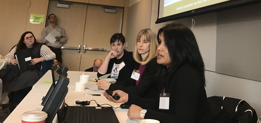
Funded by the National Cooperative Highway Research Program (NCHRP), a team of researchers from the Transportation Research and Education Center (TREC) at Portland State University (PSU) and Toole Design prepared the Research Roadmap over the past 18 months. They reviewed existing and on-going active transportation research, identified key research needs from a wide range of sources, and held outreach activities with practitioners to refine and prioritize those needs.
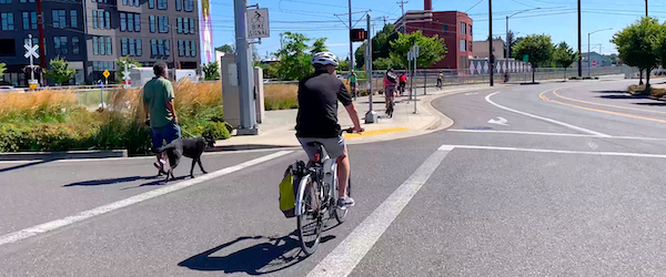
The project offers guidance on where active transportation research has been, and where it should go next in developing speed management strategies to improve pedestrian and bicyclist safety on arterial roadways, determining context-driven optimal spacing between marked crosswalks, addressing racial and economic disparities in safety improvements, refining guidance on bicycle signal timing, overcoming barriers to implementing active transportation in planning and engineering practice, and many more research questions:
- The...